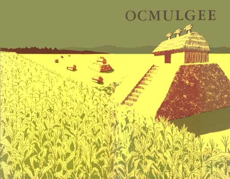
|
OCMULGEE National Monument |
 |
How to Reach the Monument
Ocmulgee National Monument lies east of the city of Macon, Ga., and adjacent to the city limits on that side. It may be reached from the downtown area by crossing the Ocmulgee River to its east bank and driving east either along Main Street or the Emery Highway to the entrance. By the first route the distance from the Fifth Street bridge is 1.2 miles; while it is 1.3 miles from the intersection where the high way begins just a short distance beyond the Spring Street bridge.
Administration
Ocmulgee National Monument is administered by the National Park Service of the United States Department of the Interior. A superintendent, whose address is Macon, Ga., is in immediate charge.
Suggestions for Further Reading
FAIRBANKS, CHARLES H. Archeological Excavations in the Funeral Mound, Ocmulgee National Monument, Ga. Archeological Research Series No. 3, National Park Service, Government Printing Office, Washington, D. C. 1956.
GRIFFIN, JAMES B., Editor. Archeology of Eastern United States. University of Chicago Press, Chicago, Ill. 1952.
KELLY, A. R. A Preliminary Report on Archeological Explorations at Macon, Georgia. Anthropological Papers, No. 1, Bureau of American Ethnology, Bulletin 119, Government Printing Office, Washington, D. C. 1938.
MARTIN, PAUL S., GEORGE I. QUIMBY, AND DONALD COLLIER. Indians Before Columbus. University of Chicago Press, Chicago, Ill. 1947.
SWANTON, JOHN R. Early History of the Creek Indians and Their Neighbors. Bureau of American Ethnology, Bulletin 73, Government Printing Office, Washington, D. C. 1922.
______. The Indians of the Southeastern United States. Bureau of American Ethnology, Bulletin 137, Government Printing Office. Washington, D. C. 1946.

|
Last Modified: Mon, Dec 2 2002 10:00:00 am PDT |


