

|
GLACIER National Park |
 |
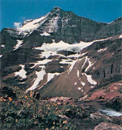 Going-to-the-Sun Mountain, towering above the St. Mary Valley, from the trail to Siyeh Pass. The coniferous forest at its base and the alpine tundra plants at its summit are closely juxtaposed in space; but if these two communities grew at the same elevation they would be separated by thousands of kilometers. Hiking from St. Mary Lake up to Siyeh Pass is going, in effect, from Montana to the Arctic Circle; but here the life zones are compressed and sharply divided rather than extended and overlapping. |
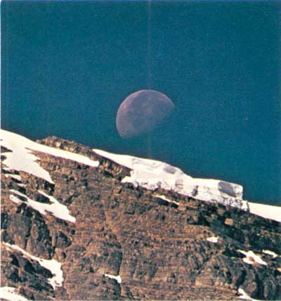 Setting moon end snow shelf near the summit of Heavens Peak. Note stratification of Precambrian sediments. |
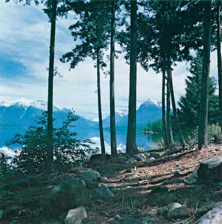 Western redcedars line the shores of Lake McDonald. Because of prevailing air currents from the Pacific coast, winters in the protected western valleys are moist and comparatively mild, and this deep body of water freezes over an average of only one winter in four. |
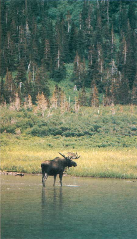 Moose often follow the spring snowmelt upwards to the headwaters of drainages. This bull will remain at Thunderbird Pond, at the base of Brown Pass, until autumn, when it will return to its Waterton Valley wintering ground. |

|

|

|
|
|
Last Modified: Sat, Nov 4 2006 10:00:00 pm PST |