

|
GREAT SMOKY MOUNTAINS National Park |
 |
Trails
Do you want to view the thrilling spectacle of colorful wild azaleas in bloom, the sylvan majesty of a grove of forest giants, the sparkling beauty of a waterfall, the awe-inspiring panorama from Myrtle Point? If so, then you'll have to go by trail. Several hundred miles of well-engineered trails, built mostly in the thirties by the Civilian Conservation Corps, make almost all parts of the park accessible to the hiker and horseback rider. Trails follow streams, lead along ridge crests, drop down into secluded valleys, and climb to mountain summits. Whether your main interest is plants or birds or rocks or views, or simply the exhilaration of being out of doors, the most rewarding route is via trail.
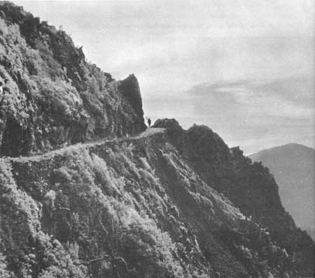 The hiker is on the Appalachian Trail, 4 miles from Newfound Gap. Courtesy, Thompsons Photography, Inc. |
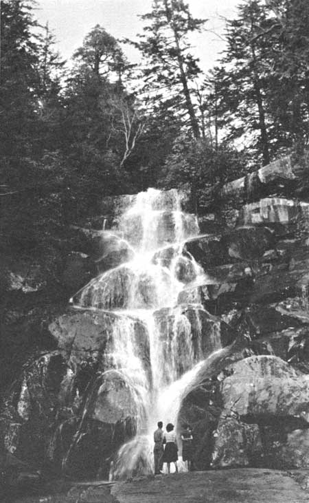 One of the finest waterfalls in the park is Ramsey Cascades. It is reached by a trail which passes through a splendid forest of giant trees. |
Trails in the park are well marked, but bears will chew the signs, on occasion, and may even destroy them. Damaged signs should be reported.
The map in the pocket inside the back cover shows the trails in the park. More detailed maps may be purchased in the headquarters and Oconaluftee areas, where other large maps and relief models are on display.
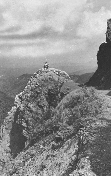 Charlies Bunion. Denuded by the disastrous fire of 1925, this area will be reforested eventually by the natural invasion of plants. Courtesy, Tennessee Conservation Department. |
 Alum Cave Bluffs. |

|

|

|
|
|
Last Modified: Sat, Nov 4 2006 10:00:00 pm PST |