DELAWARE WATER GAP
Historic Resource Study
Slateford Farm
|

|
ILLUSTRATIONS
|
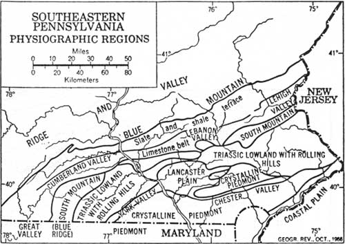
1. Southeastern Pennsylvania Physiographic Regions.
Lemon, Best Poor Man's Country, p. 471
|
|
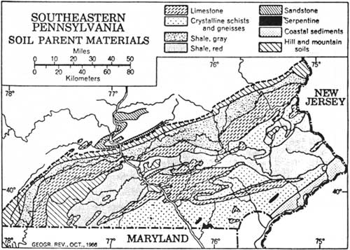
2. Southeastern Pennsylvania Soil Parent Materials.
Lemon, Best Poor Man's Country, p. 471
|
|
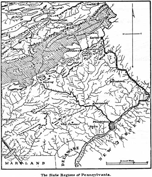
3. The Slate Regions of Pennsylvania.
Merriman, "Slate Regions of Pennsylvania" Stone, p. 78.
|

|
4. Slate Belts - Delaware Water Gap; West Side.
Lesley, et al., Geology of Lehigh and Northampton, p. 157.
|
|
|
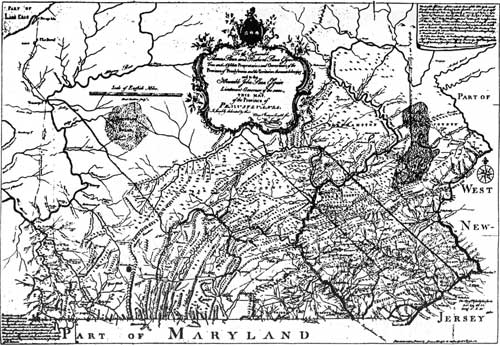
5. Map of Pennsylvania by William Scull 1770.
|
|
|
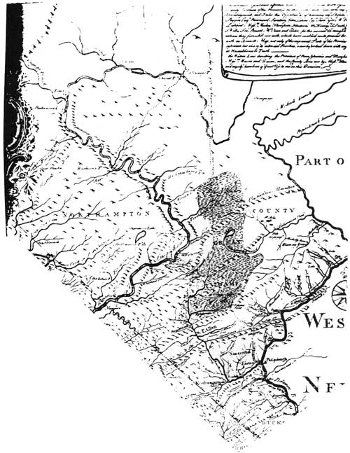
6. Scull Map Detail - Northampton County.
|
|
|
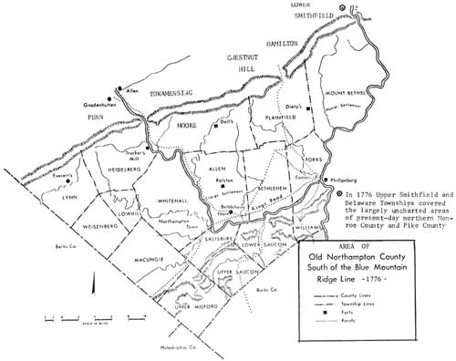
7. Old Northampton County 1776.
|
|
|
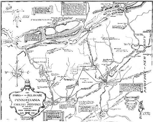
8. History Map of the Forks of the Delaware - Chidsey, 1938.
|
|
|
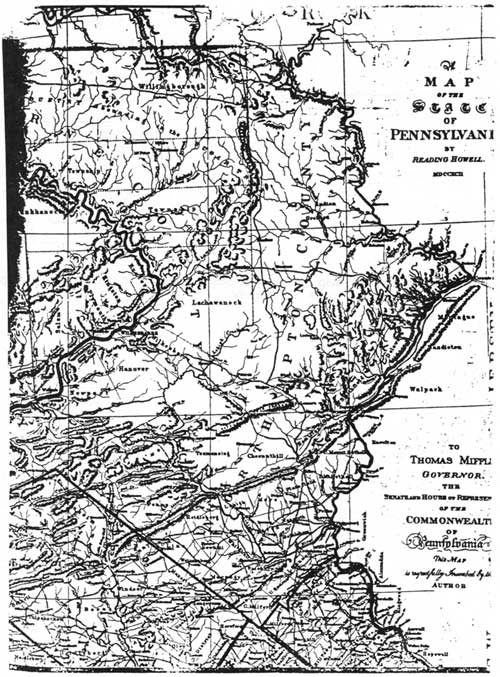
9. Map of the State of Pennsylvania by Reading Howell 1790.
|
|
|
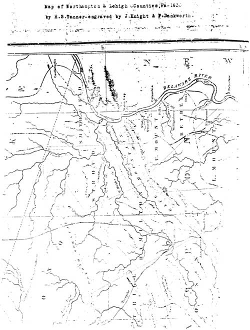
10. Map of Northampton & Lehigh Counties, Pa. - 1830 by H. S.
Tanner.
|
|
|
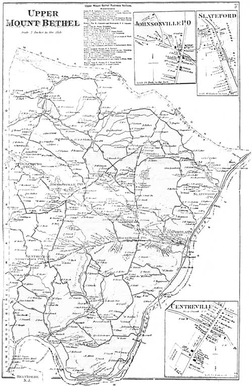
11 Atlas of Northampton County - Upper Mount Bethel Township by
D. G. Beers, 1874.
|
|
|
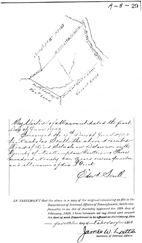
12. Nicholas Scull Survey of Northampton County Property 1753.
|
dewa/slateford_farm/photos.htm
Last Updated: 31-Dec-2009
|