|
Fort Laramie
Park History, 1834-1977 |

|
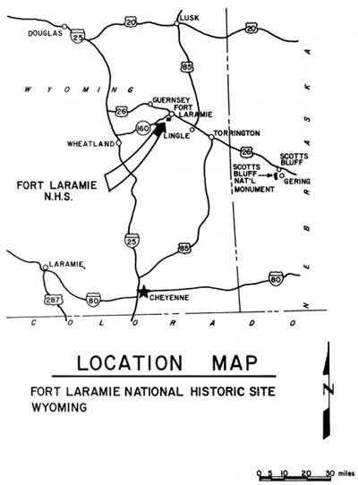
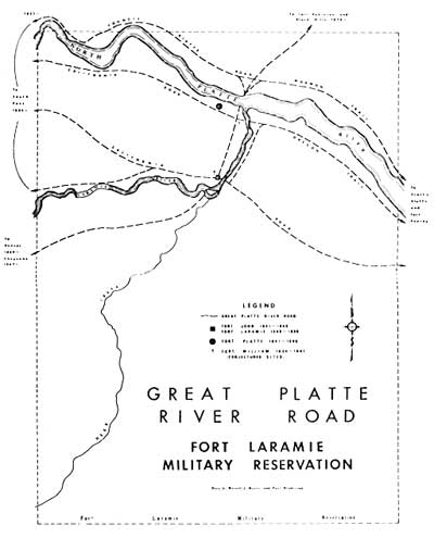
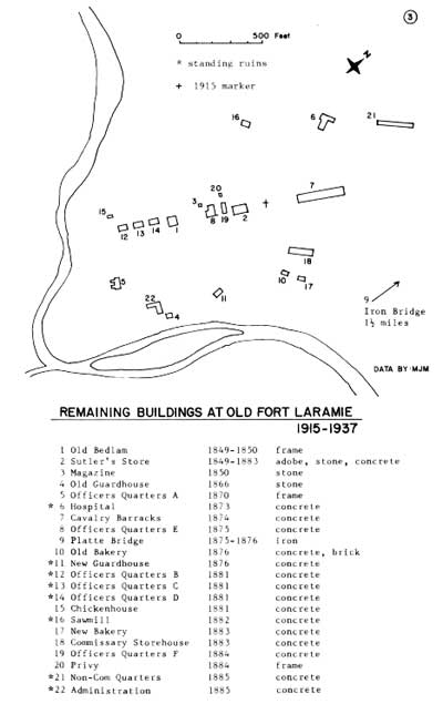
MAP APPENDIX

| |
| (click on image for an enlargement in a new window) | |

| |
| (click on image for an enlargement in a new window) | |

| |
| (click on image for an enlargement in a new window) | |
| <<< Previous | <<< Contents >>> | Next >>> |
http://www.nps.gov/fola/history/appendix.htm
Last Updated: 01-Mar-2003