|
Geological Survey Professional Paper 754-A
Glacial and Postglacial Geologic History of Isle Royale National Park, Michigan |
INTRODUCTION
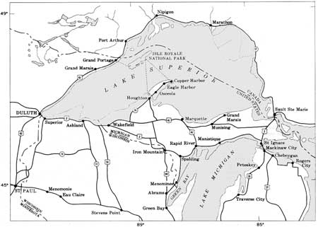
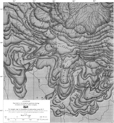
Isle Royale (fig. 1) lies within an area that was glaciated repeatedly during the Pleistocene Epoch; however, direct evidence remains for only the latest glaciation, the Valders Stade of the Wisconsin Glaciation. This stade represents a partial readvance, during the general retreat of the Wisconsin ice sheet, which returned ice to the greater part, if not all, of the Lake Superior basin about 11,000 years ago (fig. 2). Because this readvance obliterated nearly all evidence of previous glaciations, the striations, deposits, and most other features of glacial origin on the island can be attributed to Valders ice. Ice-margin deposits developed locally during pauses in the retreat of the Valders ice. In addition, glacial and postglacial lakes, many of which filled the Superior basin to higher elevations than the present Lake Superior, left their marks on the island, chiefly in the reworking of glacial materials to form wave-cut benches, cliffs, and beach deposits.

|
| FIGURE 1.—Lake Superior region. Dotted lines from Isle Royale National Park to mainland indicate passenger ferry service. (click on image for an enlargement in a new window) |
| <<< Previous | <<< Contents >>> | Next >>> |
pp/754a/intro.htm
Last Updated: 01-Mar-2005
