|
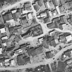
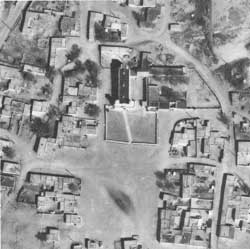
Aerial Photographs of the Pueblo Churches, 1979
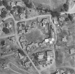
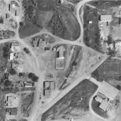
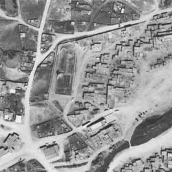
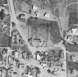
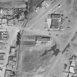
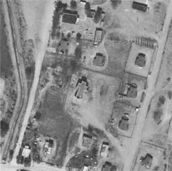
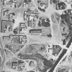
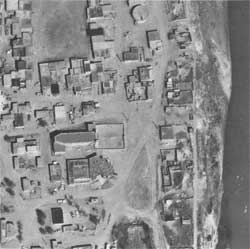
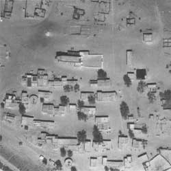
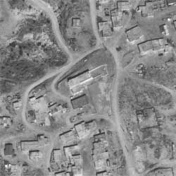
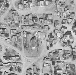
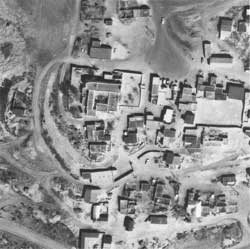
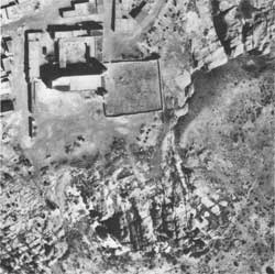
These enlarged details of existing pueblo churches
and their immediate surroundings are from aerial photographs taken in
March and April of 1979 for the Remote Sensing Division, Southwestern
Cultural Resources Center, National Park Service. Each shows an area 750
feet square (one inch equals 250 feet) with approximate north at the
top.
|
|
|
199. Tesuque.
|
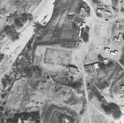
200. Nambé.
|
|
|
|
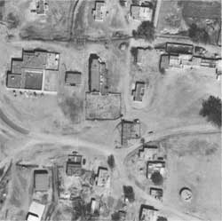
201. San Ildefonso.
|
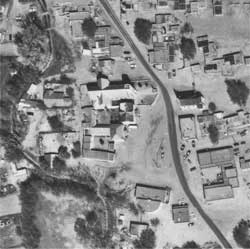
202. San Juan.
|
|
|
|
203. Picurís.
|
204. Taos.
|
|
|
|
205. Santa Clara.
|
206. Santo Domingo.
|
|
|
|
207. Sandía.
|
208. Cochití.
|
|
|
|
209. San Felipe.
|
210. Santa Ana.
|
|
|
|
211. Zia.
|
212. Jémez.
|
|
|
|
213. Laguna.
|
214. Ácoma.
|
|
|
|
215. Zuñi.
|
216. Isleta.
|
Copyright © 1980 by
the University of New Mexico Press. All rights reserved. Material from
this edition published for the Cultural Properties Review Committee by
the University of New Mexico Press may not be reproduced in any manner
without the written consent of the author and the University of New
Mexico Press.
| 

 Top
Top

