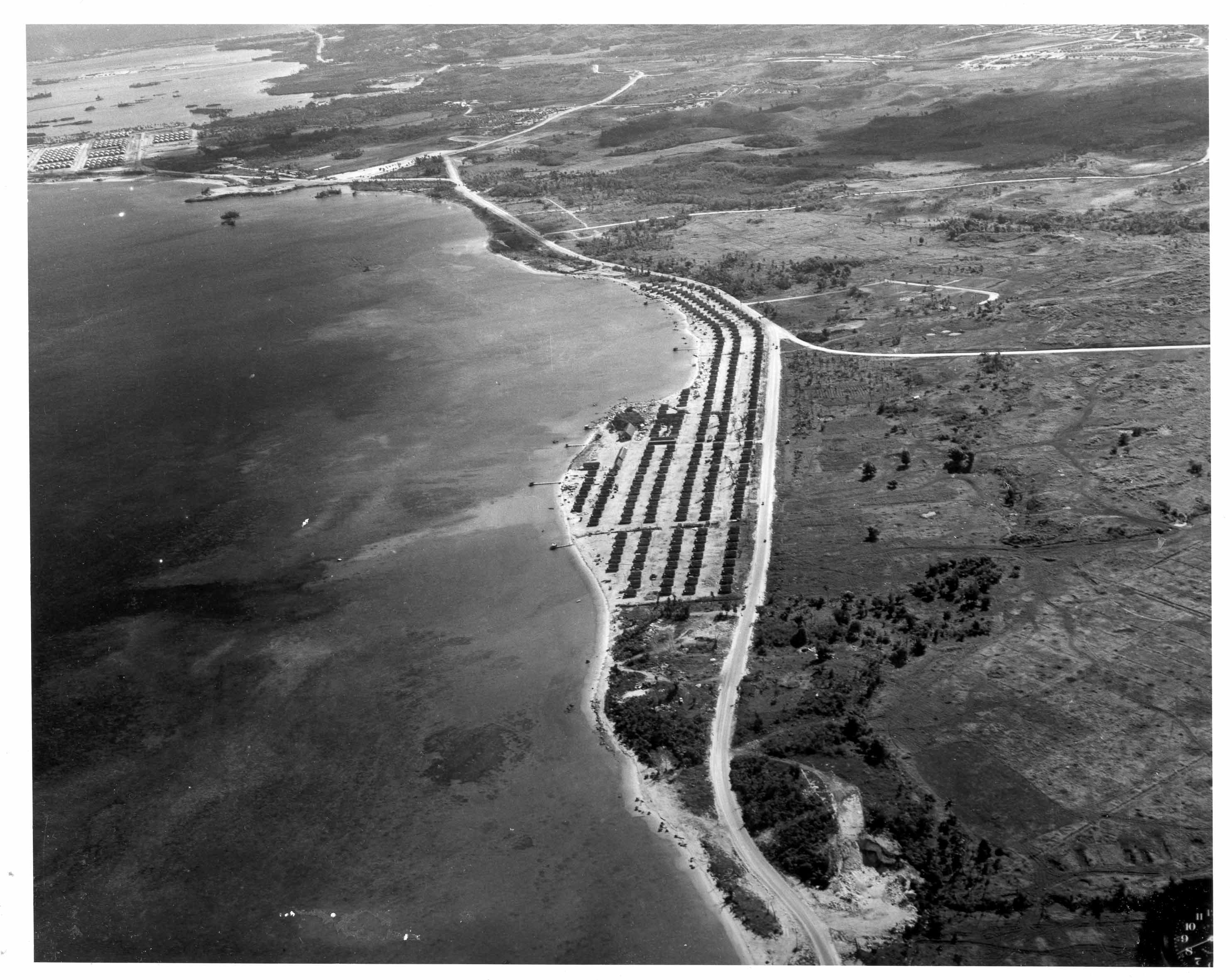
| Description: | Aerial view of Agat Village, Southern Beachhead. Upper left hand corner, on the neck of the Orote Peninsula can be seen the Naval Aviation Supply Depot and about this part of Apra Harbor. Moving to the right along the coast is Dadi beach, Rizal Beach, Apaca Point (opposite the triangular junction in the roads), Togcha Beach, Salinas beach, newly erected Agat village. The super highway running along the shore is the newly constructed Marine Drive. Harmon Road (route 12) leads east (right) across the island. The pictures show the changes that the Americans made to the terrain after August 11, 1944. May 28, 1945. (National Archive 80- G- 346182). |
|