|
HAWAII NATURE NOTES
THE PUBLICATION OF THE
NATURALIST DIVISION, HAWAII NATIONAL PARK
AND THE HAWAII NATURAL HISTORY ASSOCIATION
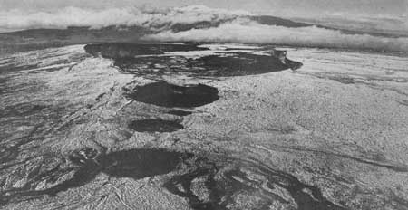
PLATE 8. Summit of Mauna Loa Volcano seen from the air, showing
Mokuaweoweo caldera, and in the foreground the pit craters on the
southwest rift, after a flurry of snow. Mauna Kea in background.
(USAAF).
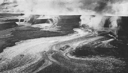
PLATE 9. Eruption of Mauna Loa Volcano, December 2, 1933. Lava
fountains play along the eruptive fissure, which crosses the
caldera and extends down the southwest slope. The light colored
material in the foreground is a lava flow. (U. S. Navy).
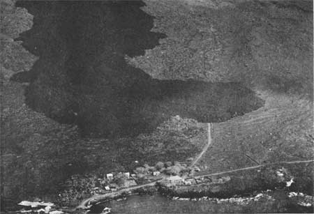
PLATE 10. Lava flow of 1926 from Mauna Loa Volcano just before
it buried the village of Hoopuloa in the Kona district. (USAAF).
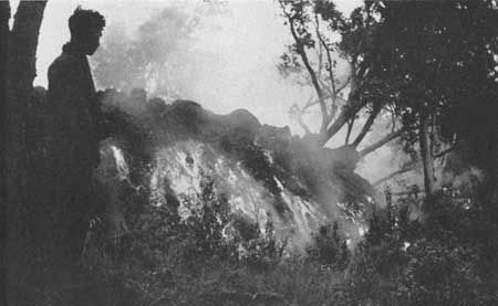
PLATE 11. Front of an aa lava flow from Mauna Loa moving through
the forest three miles south of Puu Oo Ranch, December 27, 1935.
(H. T. Stearns, USGS).
| 