|
Pictured Rocks
The Pictured Rocks An Administrative History of Pictured Rocks National Lakeshore |

|
APPENDIX 2:
PHOTOGRAPHS OF PICTURED ROCKS NATIONAL SEASHORE
* All photographs from Pictured Rocks National Lakeshore photographic collection, Grand Marais Maritime Museum, Grand Marais, Michigan
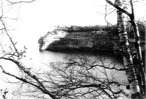
Pictured Rocks Cliffs
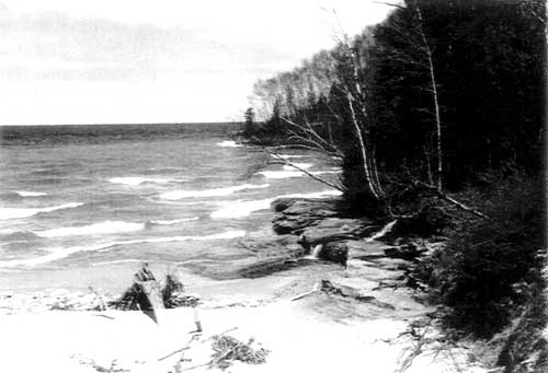
East End of Miners Beach
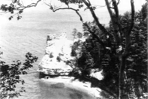
Miners Castle
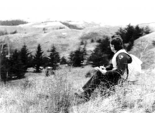
Walter Loope and Grand Sable Dunes Research Natural Area
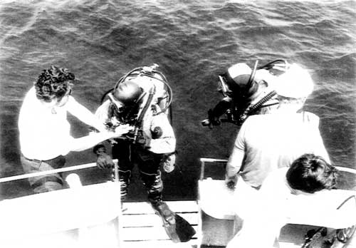
Recreational diving at Pictured Rocks
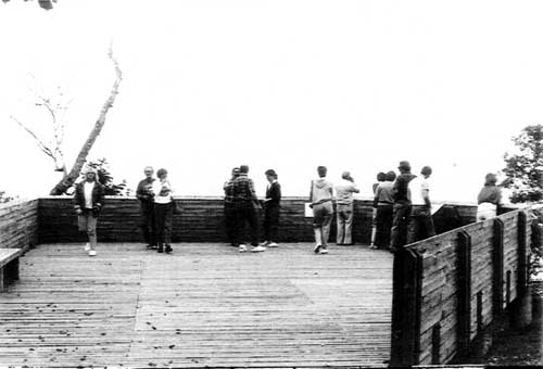
Miners Castle Overlook platform
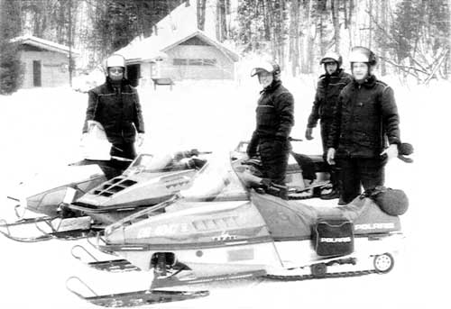
Snowmobilers at the Munising Falls Interpretive Center
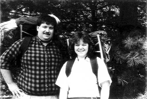
Backpackers: Brian and Tammy Hoduski
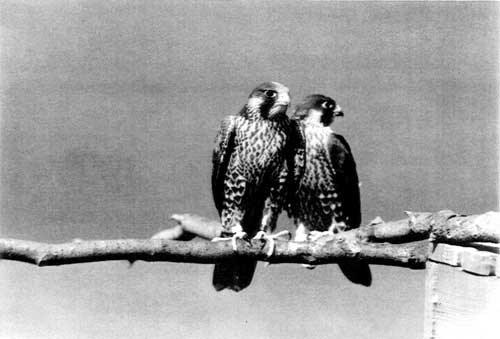
Peregrine falcon release, 1989
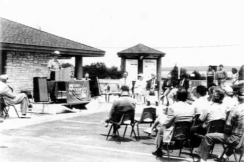
Dedication of the Interagency visitor center in Munising, 1988
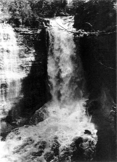
Miners Falls
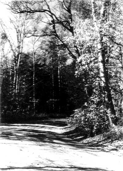
H-58 main access road to the lakeshore
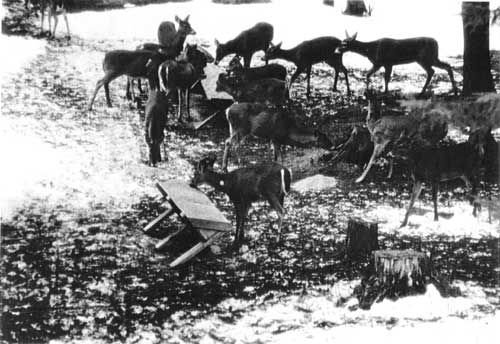
Deer feeding during Beaver Basin controversy
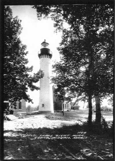
Grand Sable Light
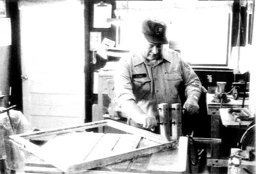
Vern Kirkens rehabbing windows for Au Sable Light Station
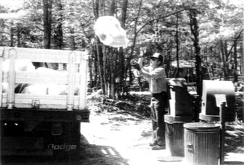
Bill Mustatia, Twelvemile Beach campground
| <<< Previous | <<< Contents>>> | Next >>> |
piro/adhi/app2.htm
Last Updated: 05-Apr-2002