

|
FORT RALEIGH National Historic Site |
 |
Later Historical Information on Fort
Raleigh
According to a letter, dated May 8, 1654, from Francis Yeardley, of Virginia, to John Farrar, a young trader and three companions went to Roanoke Island in September 1653. An Indian chieftain "received them civilly and showed them the ruins of Sir Walter Raleigh's fort." They brought back a sure token of their having been there, which they gave to Yeardley.
John Lawson wrote that the ruins of the fort could be seen in 1709 and that old English coins, a brass gun, a powder horn and a small quarter-deck gun made of iron staves and hooped with iron had been found on the site.
An act of 1723 regarding a proposed town on Roanoke Island speaks of "300 Acres of Land lying on the No. E't side of the said Island, commonly called Roanoke old plantation," thus suggesting that at that date the northeastern part of the island was regarded as the scene of Raleigh's settlements.
The earliest known map to show Fort Raleigh is the Collet map of 1770, which indicates a fort on the northeast side of the island near the shore line at what appears to be the present Fort Raleigh site. It is marked simply "Fort," without name. A later copyist calls it "Pain Fort," probably because he confused the notation of Paine's residence on the Collet map (in different type from "Fort") as part of the fort name. Benson J. Lossing, the historian, wrote in 1850 that "slight traces of Lane's fort" could then be seen "near the north end" of Roanoke Island. Edward C. Bruce reported in Harper's New Monthly Magazine, May 1860, that the trench of the fort was clearly traceable as a square of about 40 yards each way, with one corner thrown out in the form of a small bastion. He also mentions fragments of stone and brick. Partial archeological excavation of the fort was undertaken by Talcott Williams in 1895. Additional archeological excavations by the National Park Service were undertaken in 1947, 1948, and 1950.
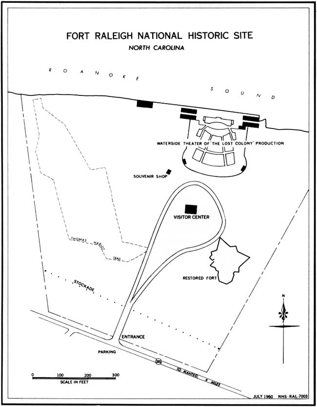
Fort Raleigh National Historic Site.
(click on image for an enlargement in a new window)
Recent History of Fort Raleigh
On April 30, 1894, the Roanoke Colony Memorial Association purchased the fort and 10 acres of surrounding land for memorial purposes. In 1896, the memorial area was extended to 16.45 acres, and the Virginia Dare monument was erected. In order to promote a more active program of interpretation at Fort Raleigh, the Roanoke Island Historical Association was organized in 1932. With Federal aid a series of buildings, constituting a symbolical restoration and an open-air theater, were constructed. In 1935, the area became a State historical park under the administration of the North Carolina Historical Commission. Two years later, the production of Paul Green's Lost Colony pageant-drama attracted Nation-wide attention to Fort Raleigh. The immediate success of the play caused it to be repeated each season, and the performance is now recognized as America's outstanding folk play.

|

|
Last Modified: Mon, Dec 2 2002 10:00:00 am PDT |