|
CRATER LAKE
Rules and Regulations 1920 |

|
MAP.
The following map may be obtained from the Director of the United States Geological Survey, Washington. D. C. Remittances should be made by money order or in cash.
Map of Crater Lake National Park: 13-3/4 by 18-3/4 inches; scale, 1 mile to the inch. Price, 10 cents.1
FONT SIZE="-1">1May be purchased by personal application to the office of the superintendent of the park, but that officer can not fill mail orders.
The roads, trails, and names are printed in black, the streams and lakes in blue, and the relief is indicated by brown contour lines. On the back of the map is a description of the lake.
PANORAMIC VIEW.
The view described below may be purchased from the Superintendent of Documents, Government Printing Office, Washington, D.C.
Panoramic view of Crater Lake National Park; 16-1/2 by 18 inches; scale, 1 mile to the inch. Price, 25 cents.1
FONT SIZE="-1">1May be purchased by personal application to the office of the superintendent of the park, but that officer can not fill mail orders.
This view is based on accurate surveys and gives an excellent idea of the configuration of the surface as it would appear to a person flying over it. The meadows and valleys are printed in light green, the streams and lakes in light blue, the cliffs and ridges in brown tints, and the roads in light brown. The lettering is printed in light brown and is easily read on close inspection, but merges into the other colors when the sheet is held at some distance.
|
|
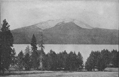
THE DIAMOND LAKE REGION. Reached by Diamond Lake Trail. Looking toward Mount Bailey, elevation 8,356 feet. |
|
|
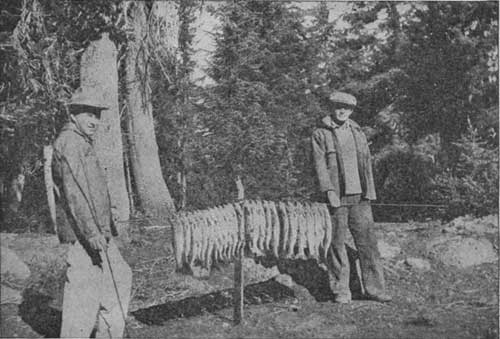
BRINGING HOME THE DAY'S CATCH. Photographs by National Park Service. |
| <<< Previous | <<< Contents>>> | Next >>> |
1920/crla/sec6.htm
Last Updated: 25-Aug-2010