FORT VANCOUVER
The History of Fort Vancouver and its Physical Structure
|

|
PLATES
|
|
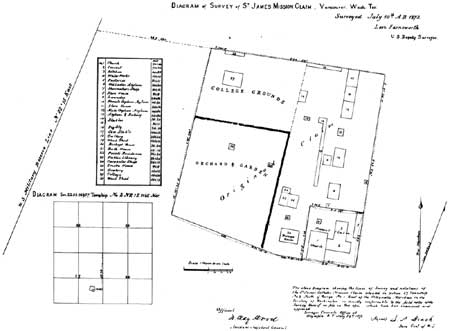
Plate XXVI—Diagram of Survey of St.
James Mission Claim, 1872. From General Land Office Records, Old
Townsites Series, Docket 1 (165), Box No. 31, in the National Archives.
(click on image for a PDF version)
|
|
|
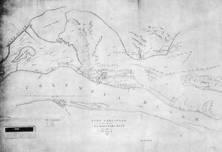
Plate XXVII—Map of Fort Vancouver
and U. S. Military Post with Town, Environs, Etc., 1859, Drawn by R.
Covington. From the original in the archives of the Hudson's Bay
Company, through the courtesy of the Governor and Committee of the
Hudson's Bay Company. (click on image for a PDF version)
|
|
|
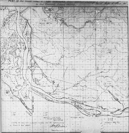
Plate XXVIII—Plat of the land
around Fort Vancouver, showing Hudson's Bay Company's Claim, 1867. From
British and American Joint Commission, Records, MSS, in General Records
Division, State Department, in the National Archives. From photostat in
possession of Howard J. Burnham. (click on image for a PDF
version)
|
|
|
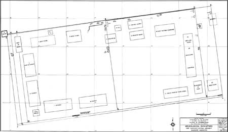
Plate XXIX—Summary Sheet,
Archeological Excavations, Fort Vancouver National Monument, Vancouver,
Washington, 1954. From Louis R. Caywood, Final Report, Fort Vancouver
Excavations. (click on image for a PDF version)
|
fova/hussey/plates6.htm
Last Updated: 18-Feb-2008
|