|
War in the Pacific
War in the Pacific National Historic Park Historic Resource Study |

|
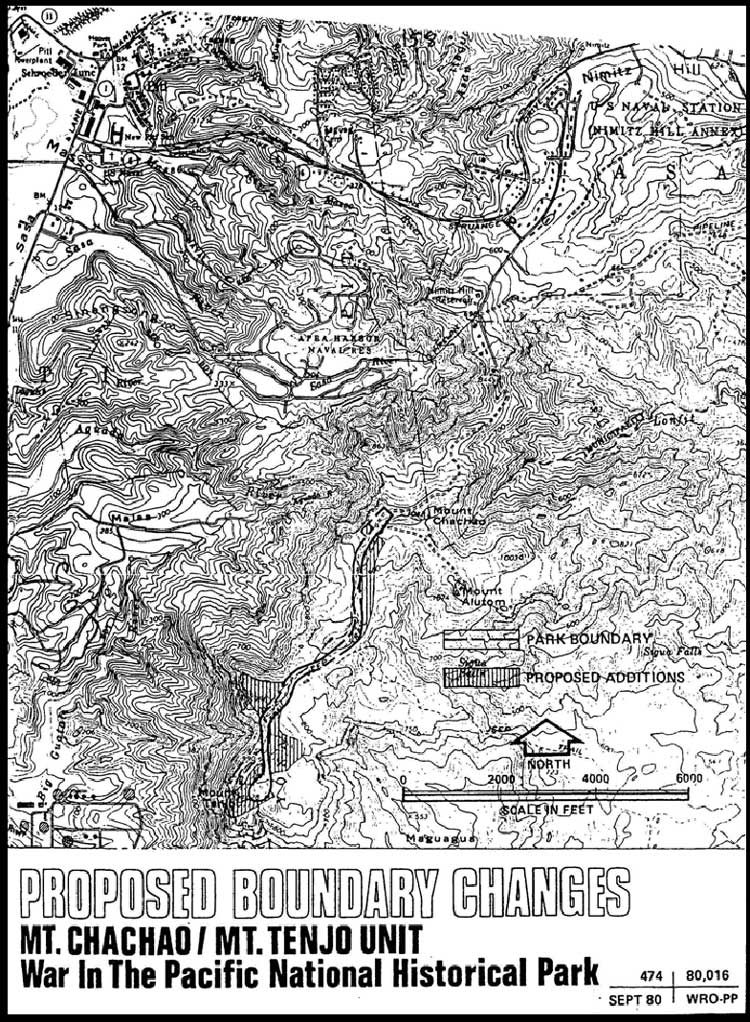
E. CHACHAO - MT. TENJO UNIT (45 acres)
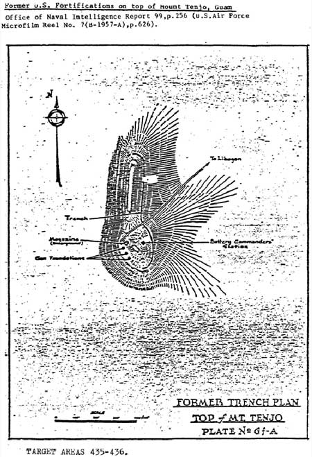
The Mt. Chachao (1,042 feet) - Mt. Alutom (1,074 feet) - Mt. Tenjo (1,028 feet) complex was the highest terrain in Guam that the American forces captured in 1944. Early in the 20th century, the U.S. Navy established a three-gun battery on Mt. Tenjo which commanded Apra Harbor and Piti Navy Yard. These weapons were removed well before World War Il Nothing remains of the battery commander's station or the underground magazine. A trench on the east side of the peak is probably a portion of a longer trench along the ridge constructed by the navy. The site of the gun emplacements may be identified.
On July 28, 1944, both the 3d Marine Division and the 77th infantry Division began a drive on the mountain complex. From the southwest, a company of the 307th Infantry Regiment reached the peak of Mount Tenjo at 8:15 a.m., opposed only by occasional sniper fire. It was soon replaced by a battalion of the same regiment which spread out over the slopes of the mountain. From the north, a combat team composed of both marines and soldiers, accompanied by tanks, approached the complex from the Fonte area. A battalion of the 9th U.S. Marines from this unit captured Mt. Chachao, wiping out the company of Japanese that defended it. Seeing the army troops already on Mount Tenjo, the Marines advanced along the ridge on a narrow road toward the mountain, erasing Japanese machine gun nests along the way. The soldiers came to meet them. There, on the ridge, the two divisions met, one week after the initial landings on Guam.
For, the first time since W-Day, U.S. forces found themelves in a satisfactory situation. The Final Beachhead Line had been reached. Americans had control of central Guam, and now had excellent observation of the northern part of the island to where the Japanese were retreating. Phase 1 of the liberation of Guam was completed.
|
| (click on image for an enlargement in a new window) |
|
|
|
No. 71. Japanese foxholes. Six foxholes on the ridge to the peak of Mount Tenjo. Shell casings (cartridges) were found here. This feature is outside the park boundaries.
No. 72. Depression. This was probably a Japanese machine gun position. U.S. .30 caliber bullets and cartridges were found here. It is outside the park boundaries.
No. 73. Japanese foxhole. It measures 2 feet deep and 2-1/2 feet in diameter and is outside the park boundaries.
No. 75. Tracks in clay soil. Each track is 16 inches wide and the outer edges of the tracks are 5 feet apart. The depressions are 8 inches deep and 5 feet 8 inches in length. This feature is outside the park boundaries.
No. 76. Depression on an unnamed peak east of Mount Tenjo and connected to it by a ridge. It has been described "as little fancier" than most foxholes. It, too, is outside the park boundaries. Possibly an observation post.
No. 77. A depression on the top of Mount Tenjo that may have been a Japanese observation post. No. 77 includes the trench and the site of the early naval guns discussed above. It is privately owned but within the park boundaries.
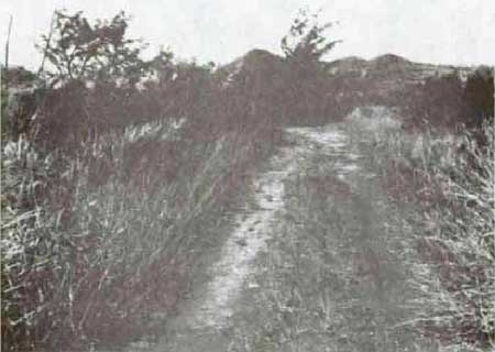
No. 99. Trail. This four-wheel-drive trail branches off the road to Mt. Alutom at Mount Chachao. It is part of the road that, in 1944, ran from near Adelup Point to Mount Tenjo. Battle reports called it "the Mt. Tenjo road," Current maps identify it as a jeep trail. The 2,287-yard trailsuffers from erosion in part. Although privately owned, it is within the park boundaries.
|
| No. 99. Jeep trail leading to Mt. Tenjo, 1984. |
|
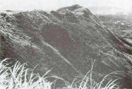
| Mt. Tenjo. |
|
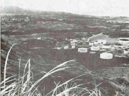
| Agat landing beaches from Mt. Tenjo, 1984. |
|
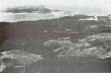
| Apra Harbor from Mt. Tenjo, 1984. |
| <<< Previous | <<< Contents >>> | Next >>> |
wapa/hrs/sece.htm
Last Updated: 07-Mar-2005