CUMBERLAND ISLAND
An Ecological Survey of the Coastal Region of Georgia
NPS Scientific Monograph No. 3
|

|
APPENDIX VI:
Location of Oyster Beds and Extent
of Polluted Waters Closed to
Oyster Harvesting
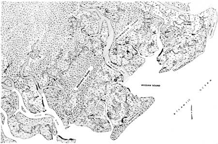
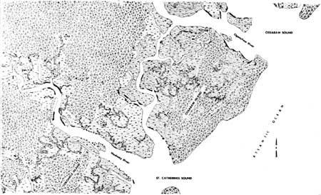
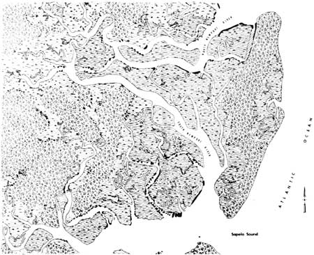
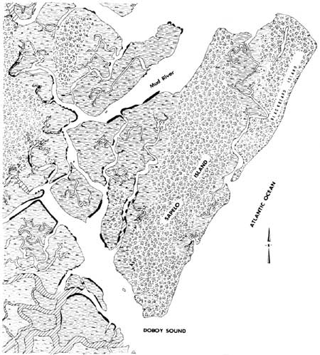
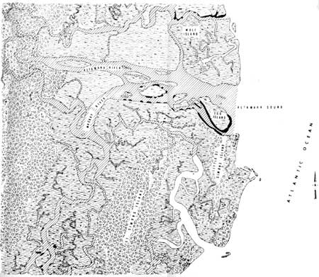
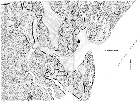
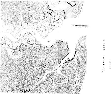
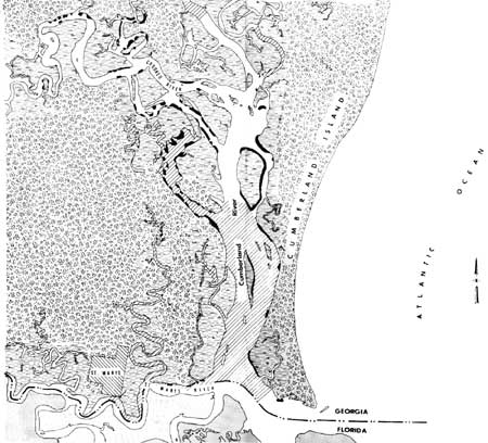
The distribution and acreage of oyster beds along the
coast of Georgia were mapped in 1966-67 by Thomas L. Linton for the
Georgia Game and Fish Commission. Locations of oyster beds, as revealed
by Dr. Linton's survey data made available by the Game and Fish
Commission, are shown in black on Figs. 35 A-H.

|
|
Fig 35A. (click on image for an enlargement
in a new window)
|
|
|
Fig 35B. (click on image for an enlargement
in a new window)
|
|
|
Fig 35C. (click on image for an enlargement
in a new window)
|
|
|
Fig 35D. (click on image for an enlargement
in a new window)
|
|
|
Fig 35E. (click on image for an enlargement
in a new window)
|
|
|
Fig 35F. (click on image for an enlargement
in a new window)
|
|
|
Fig 35G. (click on image for an enlargement
in a new window)
|
|
|
Fig 35H. (click on image for an enlargement
in a new window)
|
The State Department of Public Health has closed to
oyster harvest those areas of the estuary indicated by shading on the
map. These areas were closed because of high coliform bacteria counts
which serve as indicators of contamination by domestic sewage. The data,
corrected to August 1970, were provided by the State Department of
Public Health.
app6.htm
Last Updated: 1-Apr-2005
| 


