|
Mojave Trails National Monument California |
 |
 BLM photo | |
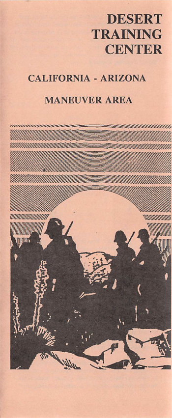
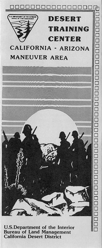
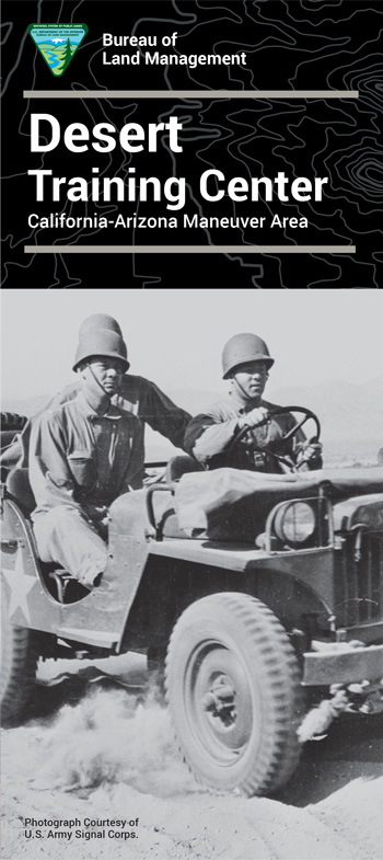
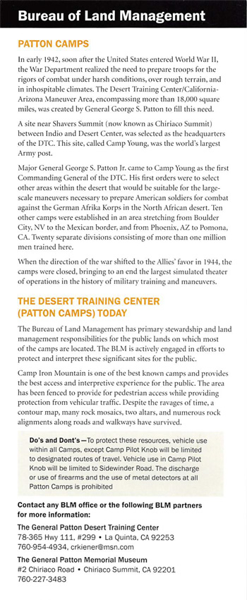
The Mojave Trails National Monument spans 1.6 million acres of federal lands, including more than 350,000 acres of already Congressionally-designated wilderness, managed by the Bureau of Land Management between Barstow and Needles, California. It is a stunning mosaic of rugged mountain ranges, ancient lava flows, and spectacular sand dunes. The monument contains the longest remaining undeveloped stretch of Route 66 and some of the best preserved sites from the World War II-era Desert Training Center. Connecting the Mojave National Preserve with Joshua Tree National Park, the Mojave Trails National Monument ensures the biological connectivity of this landscape while preserving recreational and traditional uses such as hunting and OHVing.
Source: BLM Website (March 2023)
|
Establishment Mojave Trails National Monument — February 12, 2016 |
For More Information Please Visit The  OFFICIAL BLM WEBSITE |
Brochures/Site Bulletins

Documents
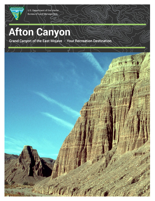
Afton Canyon: A Brief History & Compiled Avian Species Records 2016, Mojave Trails National Monument (Tom Egan, December 2016)
Annual Manager's Report: 2021, Mojave Trails National Monument (Brad Baron, Remona Daniels, Chris Dalu, Russell Hansen, Rose Pettiette and Noelle Glines-Bovio, 2021)
Annual Manager's Report: 2022, Mojave Trails National Monument (Remona Daniels, Chris Dalu, Rose Pettiette, Jaclyn Bernstein and Noelle Glines-Bovio, 2022)
Economic Impact of Designation of National Monuments in San Bernardino County: Sand to Snow, Castle Mountains and Mojave Trails National Monuments (AM Development Group, July 2018)
Envisioning Report, Mojave Trails National Monument (May 2017)
Land Status Map (BLM, 2016)
Map, Mojave Trails National Monument (BLM, 2016)
Map, Mojave Trails National Monument (BLM, 2019)
Marble Mountains Trilobite Fossil Collection (BLM, Feb. 2017)
Proclamation 9395—Establishment of the Mojave Trails National Monument (Barack Obama, February 12, 2016)
Books

mojave-trails/index.htm
Last Updated: 01-Aug-2024

