HISTORY OF THE OREGON STATE PARKS: 1917-1963
|

|
Section 6
MAPS, CHARTS, AND DATA (continued)
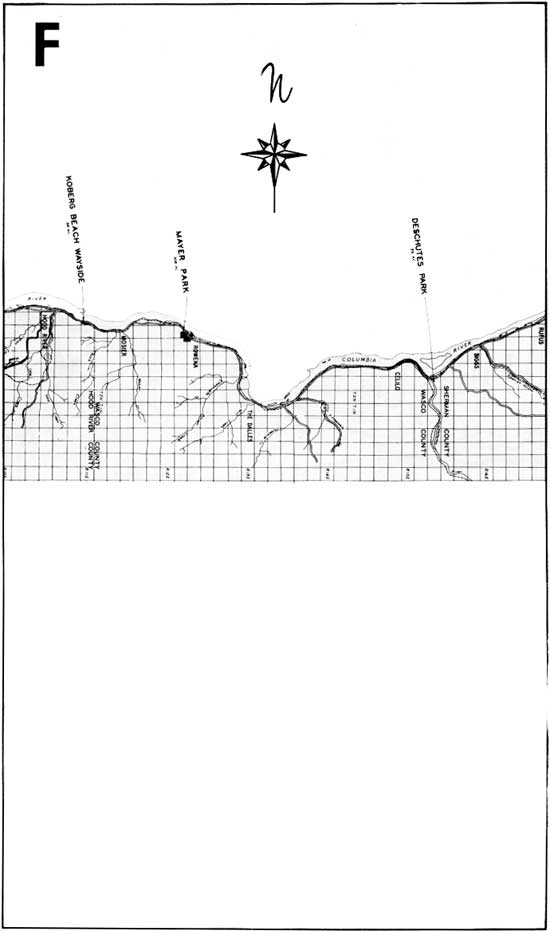
STATE PARK LOCATION MAPS
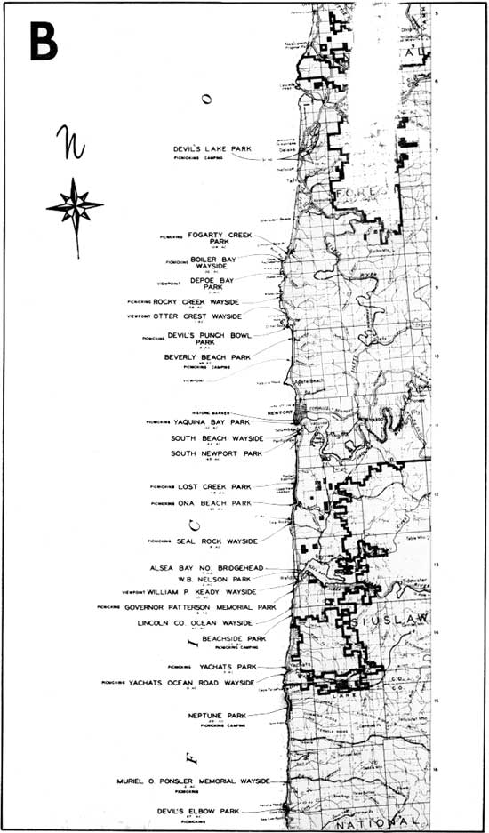
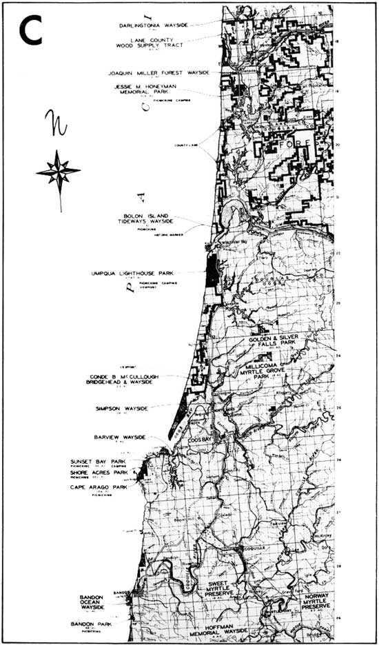
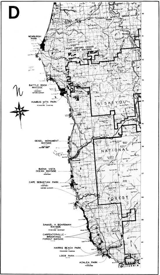
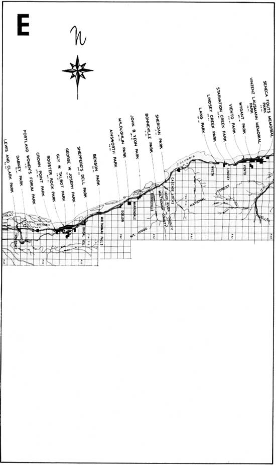
The following sectional maps, A through F, cover
areas in the State where parks and waysides are most numerous. Inside
the back cover a State Map shows the distribution of all parks and
waysides and includes an index to the sectional maps.
The description of each park and its related history
is given in Section V, beginning on Page 83.

|
|
(click on image for a PDF version)
|
|
|
(click on image for a PDF version)
|
|
|
(click on image for a PDF version)
|
|
|
(click on image for a PDF version)
|
|
|
(click on image for a PDF version)
|
|
|
(click on image for a PDF version)
|
sec6c.htm
Last Updated: 06-Aug-2008
| 


