|
NATIONAL PARK SERVICE
Atlantic and Gulf Coasts Recreation Area Survey |

|
UNDEVELOPED SEASHORE AREAS IN LOUISIANA
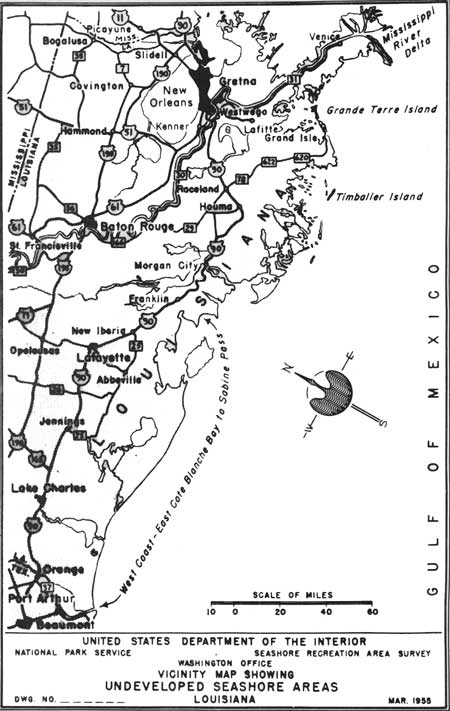
|
| Undeveloped Seashore Areas of Louisiana (Vicinity Map) (click on image for an enlargement in a new window) |
Grand Terre Island
Louisiana
| Location: | Off coast of Louisiana, 1 mile northeast of Grand Isle, 50 miles due south of New Orleans. |
| Accessibility: | By boat only. |
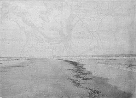
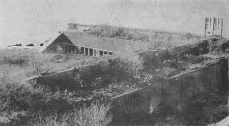
| Description of Area: | The island is about 6-1/2 miles in length and a mile at its greatest width, and contains approximately 1,800 acres of land. The beach is about 200 feet in width, tan in color, and scattered with shells and debris. The dunes are low and unstable. There is very little forest cover. There are a few small fresh-water ponds, and considerable low, salt-grass marsh. The water is discolored and unattractive. Fort Livingston, a brick fort on the eastern end of the island, has been partially washed away. |
| Present Use: | The island is undeveloped and unused except for grazing of livestock. There is an abandoned Coast Guard station near the fort. |
| Analysis: | Because of the scarcity of seashore land along the Louisiana coast, and the historical interest attached to this area, the State has expressed interest in the acquisition of this property. |
|
| Grande Terre Island |
|
| Fort Livingston |
Louisiana
Chandeleur Islands
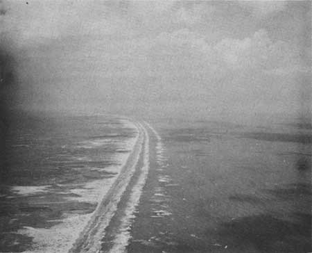
These islands are located in the Gulf of Mexico approximately 75 miles southeast of New Orleans. There are a hundred or more of them and at low tide they have a total land area of about 5,000 acres. Many of them are awash at high tide, and all of them are separated and surrounded by water which is shoal. On the Gulf side of the islands very good beaches have been formed--clean, fairly wide and gentle of slope. On the sound side, the land areas are low, grass-covered salt marshes. There are occasional expanses of mangroves on the islands where the dunes are stable. The islands are a Federal wildlife refuge, are undeveloped and are accessible only by boat or plane. The best use of the islands is undoubtedly for wildlife purposes.
|
| Chandeleur Islands |
Mississippi River Delta
The delta of the Mississippi River is, generally, a vast expanse of salt marshes, mud flats, and shallow ponds and waterways. It begins approximately 50 miles southeast of New Orleans and continues southeastwardly for another 40 miles and then ends, fan-shaped, in the Gulf of Mexico. There are no land or foreshore areas that may be developed for recreation purposes. In the few places where beaches occur they are heavily silted, narrow and littered with shells, seaweed, driftwood and other debris. Trapping of fur-bearing animals, fishing, mining for sulphur and drilling for oil are the principal industries of the region. The Delta National Wildlife Refuge, occupying about 100 square miles, has been established near the mouth of the river.
Timbalier Island
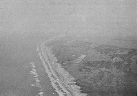
The island lies 30 miles due west of Grand Isle. It is 8 miles long and 1-1/4 miles wide, and contains about 2,500 acres of land. The beach is narrow and heavily littered, and its somewhat steep slope continues offshore. Vegetation consists primarily of salt-marsh and dune grass. The island is undeveloped and accessible only by boat. Its seashore factors (beach, dunes, vegetation, etc.) are of poor quality and the island is vulnerable to erosion.
|
| Timbalier Island |
West Coast-East Cote Blanche Bay to Sabine Pass
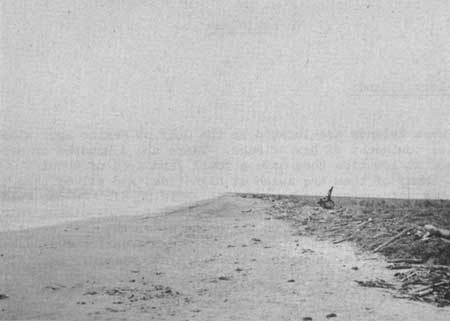
From Atchafalaya Bay westward to Sabine Pass, a distance of 125 miles, the coast of Louisiana is primarily one vast area of salt-marshes, mud flats and shallow waterways. There are no sand beaches, no dunes, and very little vegetation other than the plants of the salt-marshes. The region is relatively unused, inaccessible and undeveloped. Oil and gas have been found and are still being searched for in this area. The Sabine National Wildlife Refuge and four other game refuges are located within this span. The Louisiana west coast has very little value as a possible public recreation area.
|
| Holly Beach, Louisiana West Coast |
| <<< Previous | <<< Contents>>> | Next >>> |
rec_area_survey/ag/la.htm
Last Updated: 25-Jun-2007