|
Nez Perce (Nee-Me-Poo) National Historic Trail OR-ID-MT-WY |
 |
 USFS photo | |
Congress passed the National Trails System Act in 1968, establishing a framework for a nationwide system of scenic, recreational, and historic trails. The Nez Perce (Nimíipuu or Nee-Me-Poo) National Historic Trail stretches from Wallowa Lake, Oregon, to the Bear Paw Battlefield near Chinook, Montana. It was added to this system by Congress as a National Historic Trail in 1986.
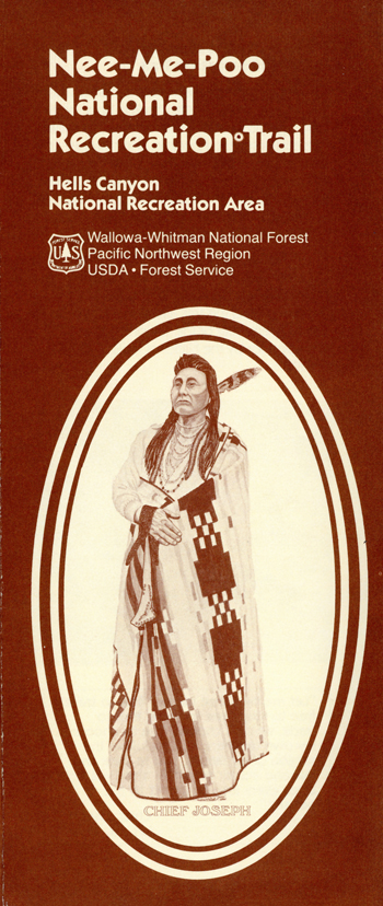
The 1877 flight of the Nez Perce from their homelands while pursued by U.S. Army Generals Howard, Sturgis, and Miles, is one of the most fascinating and sorrowful events in Western U.S. history. Chief Joseph, Chief Looking Glass, Chief White Bird, Chief Ollokot, Chief Lean Elk, and others led nearly 750 Nez Perce men, women, and children and twice that many horses over 1,170 miles through the mountains, on a trip that lasted from June to October of 1877.
Forced to abandon hopes for a peaceful move to the Lapwai reservation, the Nez Perce chiefs saw flight to Canada as their last promise for peace. The flight of the Nez Perce began on June 15, 1877. Pursued by the Army, they intended initially to seek safety with their Crow allies on the plains to the east. Their desperate and circuitous route as they tried to escape the pursuing white forces is what we now call the Nez Perce National Historic Trail.
This route was used in its entirety only once; however, component trails and roads that made up the route bore generations of use prior to and after the 1877 flight of the nontreaty Nez Perce.
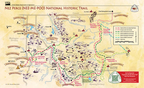
The trail starts at Wallowa Lake, Oregon, then heads northeast and crosses the Snake River at Dug Bar. It enters Idaho at Lewiston and cuts across north-central Idaho, entering Montana near Lolo Pass. It then travels through the Bitterroot Valley, after which it re-enters Idaho at Bannock Pass and travels east back into Montana at Targhee Pass to cross the Continental Divide. It bisects Yellowstone National Park, and then follows the Clark Fork of the Yellowstone out of Wyoming into Montana. The trail heads north to the Bear's Paw Mountains, ending 40 miles from the Canadian border.
A note on preservation: It is up to us to respectfully use the trail while remembering that it is part of our heritage. To the Nee-Me-Poo, the trail is part of their sacred land, land they still use. If we want those who come after us to have a sense of the trail history, it is up to us to preserve and protect it.
This land is an important source of spiritual strength for all races of people including the Nez Perce. Its natural and historic sites should be left undisturbed by all who visit.
"We the surviving Nez Perces, want to leave our hearts, memories, hallowed presence as a never-ending revelation to the story of the event of 1877. This trail will live in our hearts. We want to thank all who visit this sacred trail, that will share our innermost feelings. Because their journey makes this an important time for the present, past, and future."
Frank B. Andrews, Nez Perce descendant
Source: USFS Website (May 2023)
|
Establishment Nez Perce (Nee-Me-Poo) National Historic Trail — October 6, 1986 |
For More Information Please Visit The  OFFICIAL USFS WEBSITE |
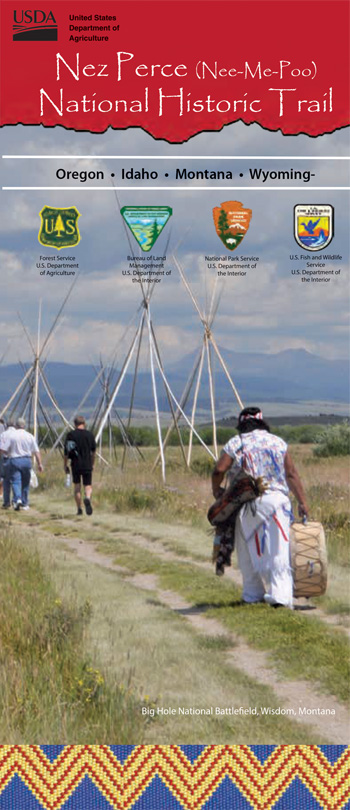
Brochures/Site Bulletins

Documents
Archeology along the Nez Perce National Historic Trail (Daniel H. Eakin and Elizabeth A. Horton, extract from Yellowstone Science, Vol. 26 No. 1, May 2018)
Comprehensive Plan: The Nez Perce (Nee-Me-Poo) National Historic Trail (1990)
Comprehensive Plan: Nez Perce (Nee-Me-Poo) National Historic Trail (September 2021)
Experience the Nez Perce Trail Auto Tour
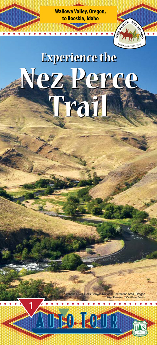
1. Wallowa Valley, Oregon to Kooskia, Idaho (U.S. Forest Service, May 2014)
2. Orofino, Idaho to Lolo, Montana (U.S. Forest Service, 2009)
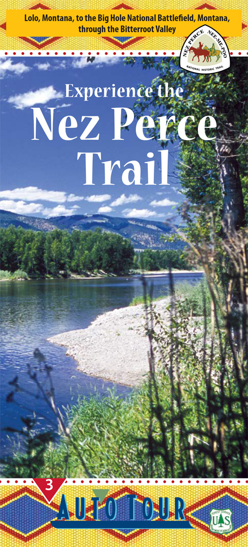
3. Lolo, Montana to the Big Hole Battlefield, Montana through the Bitterroot Valley (U.S. Forest Service, August 2012)
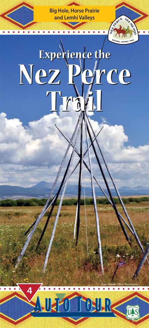
4. Big Hole, Horse Prairie and Lemhi Valleys (U.S. Forest Service, August 2012)
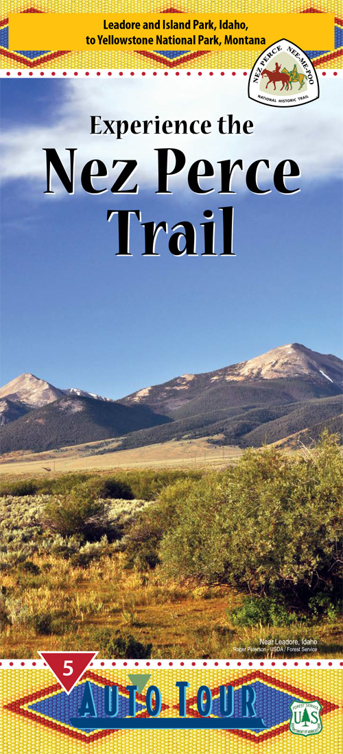
5. Leadore and Island Park, Idaho to Yellowstone National Park, Montana (U.S. Forest Service, December 2014)
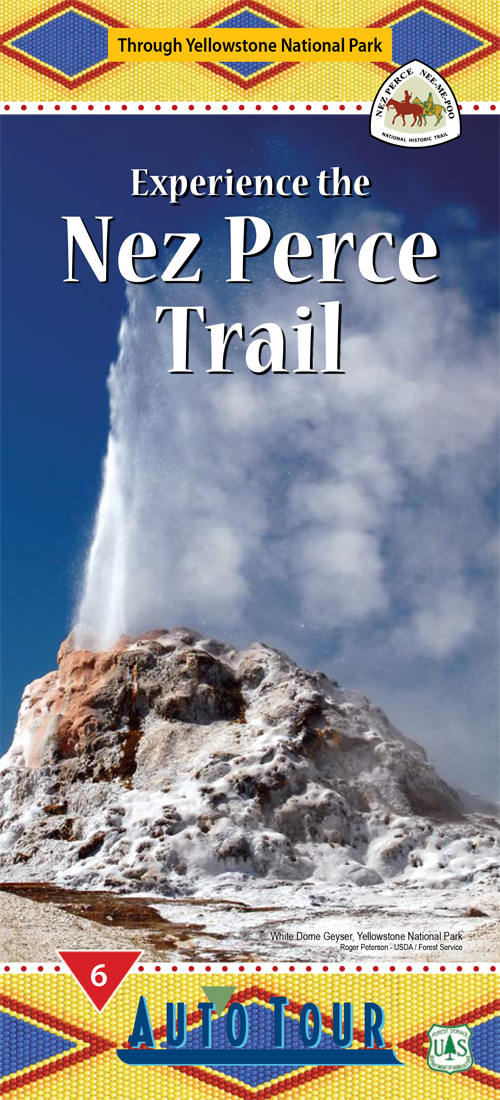
6. Through Yellowstone National Park (U.S. Forest Service, 2014)
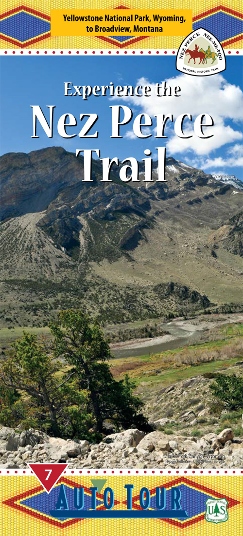
7. Yellowstone National Park, Wyoming to Broadview, Montana (U.S. Forest Service, May 2014)
7. Yellowstone National Park, Wyoming to Broadview, Montana (U.S. Forest Service, March 2019)
8. Canyon Creek to Bear Paw (U.S. Forest Service, 2012)
Historic and Administrative Context, Nez Perce (Nee-Me-Poo) National Historic Trail (December 2016)
Interpretive Plan, Nez Perce (Nee-Me-Poo) National Historic Trail Final (September 2016)
Interpretive Site Inventory, Nez Perce National Historic Trail Draft (2011)
Interpretive Strategy, Nez Perce (Nee-Me-Poo) National Historic Trail Draft (1999)
Map: The Nez Perce (Nee-Me-Poo) National Historic Trail (U.S. Forest Service, August 1990 revised 1995)
Nez Perce National Historic Trail, Oregon-Idaho-Montana-Wyoming (1990)
Nez Perce (Nee-Me-Poo) Trail: A Study Report (USDA Forest Service, March 1982)
Past and Present Nez Perce Signage in Yellowstone National Park (Sarah Parker, March 7, 2007)
Progress Reports
1995: March
1996: April
1999: February
2003: Summer
2004: Summer
2007: Summer
2010: Winter • Spring • Summer • Fall
2011: Winter • Spring • Summer • Fall
2012: Winter • Spring • Summer • Fall
2013: Winter • Spring • Summer • Fall
2014: Winter • Spring • Summer • Fall
2015: Winter • Spring • Summer • Fall
2016: Winter • Spring • Summer • Fall
2017: Winter • Spring • Summer • Fall
2018: Winter • Spring • Summer • Fall
2019: Winter-Spring • Summer • Fall
2020: Spring • Summer • Fall • Winter
2022: Winter
The Flight of the Nez Perce ...through the Bitterroot Valley — 1877 Auto Tour (U.S. Forest Service, 1995)
The Flight of the Nez Perce ...through the Big Hole, Horse Prairie and Lehmi Valleys — 1877 Auto Tour (U.S. Forest Service, 1997)
The Flight of the Nez Perce ...through Leadore and Island Park, Idaho to West Yellowstone, Montana — August 1877 Auto Tour (U.S. Forest Service, 1997)
Landscape Of History: The Nez Perce (Nee-Me-Poo) National Historic Trail
Books

npnht/index.htm
Last Updated: 01-Aug-2024
