
|
Geological Survey Bulletin 1508
The Geologic Story of Colorado National Monument |
GEOGRAPHIC SETTING
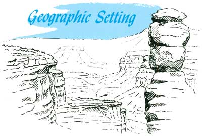
GEOLOGISTS AND GEOGRAPHERS have divided the United States into many provinces, each of which has distinctive geologic and topographic characteristics that set it apart from the others. Colorado National Monument is in the north eastern part of the Canyon Lands section of the Colorado Plateau Province—a province that contains 15 national parks and monuments, about 3 times as many as any other province. This province, hereinafter referred to simply as the Colorado Plateau, or the Plateau, covers some 150,000 square miles and extends from Rifle, Colo., at the northeast to a little beyond Flagstaff, Ariz., at the southwest, and from Cedar City, Utah, at the west nearly to Albuquerque, N. Mex., at the southeast. This scenic province consists of high plateaus generally ranging in altitude from 4,500 feet to more than 7,000 feet, which are deeply and intricately dissected by literally thousands of canyons.
Colorado National Monument is drained entirely by the Colorado River, which flows to the northwest in the wide Grand Valley just a few miles from the northeastern border (fig. 3). The small streams that drain the Monument contain water only after summer thundershowers or after rapid snowmelt.
Why is the large valley of the Colorado River called the Grand Valley? The Colorado River northeast from its confluence with the Green River in the middle of Canyonlands National Park13 formerly was called the Grand River, and the Green and Grand joined at the confluence to form the Colorado River. The Grand River was renamed Colorado River by act of the Colorado State Legislature approved March 24, 1921, and approved by act of Congress July 25, 1921. But the old term still remains in names such as Grand County, Colo., the headwaters region; Grand Valley, a town 16 miles west of Rifle, Colo.; Grand Valley between Palisade and Mack, Colo.; Grand Mesa, an extensive plateau which towers more than a mile above the Grand and Gunnison River Valleys; Grand Junction, Colo., a city appropriately situated at the confluence of the Grand and Gunnison Rivers; and Grand County, Utah, which the river traverses after entering Utah.
13See Lohman, 1974.
| <<< Previous | <<< Contents >>> | Next >>> |
bul/1508/sec6.htm
Last Updated: 8-Jan-2007