Mesa Verde
Administrative History
|

|
MAPS

|
|
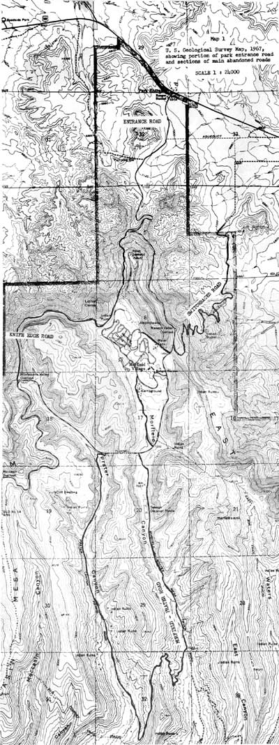
Map 1. U.S. Geological Survey Map, 1967,
showing portion of park entrance road and sections of main abandoned
roads. (click on image for an enlargement in a new window — ~600K)
|

|
|
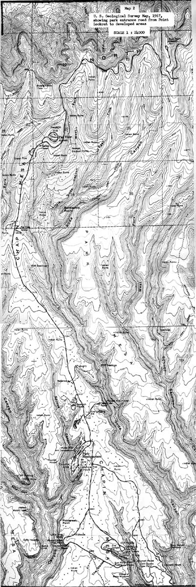
Map 2. U.S. Geological Survey Map, 1967,
showing park entrance road from Point Lookout to developed area.
(click on image for an enlargement in a new window — ~750K)
|

|
|
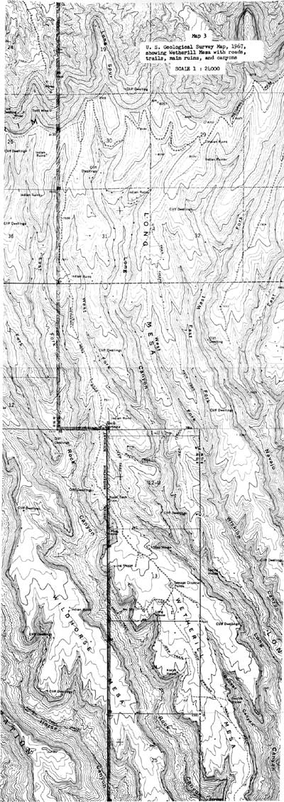
Map 3. U.S. Geological Survey Map, 1967,
showing Wetherill Mesa with roads, trails, main ruins, and canyons.
(click on image for an enlargement in a new window — ~750K)
|
meve/adhi/maps.htm
Last Updated: 21-Aug-2004
|


