NPSHistory.com

CELEBRATING THE NATIONAL PARK SERVICE CENTENNIAL • 1916-2016
Copyright, Randall D. Payne
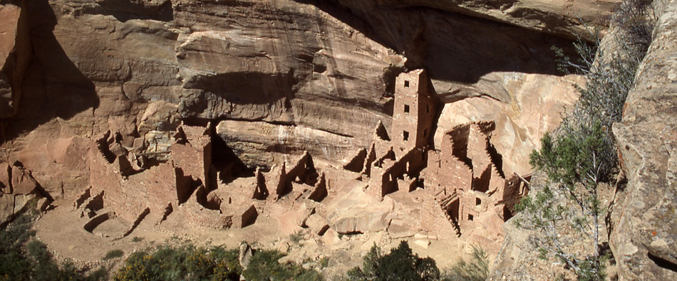
Mesa Verde National Park

Historical Photos and Maps

This month we will take a look at transporation in the history of our national parks. We start off by looking at a series of maps showing the growth of the National Park System and, intially the railroad, and eventually the extensive road network, providing park access. Next up we take a brief look at park entrance signs which greets all park visitors and wrap up with a series of photos taken from the Highways in Harmony brochures and postcards produced by the Federal Highway Administration's We Engineer America's Scenic Highways. The Art of U.S. National Parks Signs has a superb collection of (modern-day) park entrance signs.

National Park System, 1915
(from Report of the General Superintendent and Landscape Engineer of National Parks to the Secretary of the Interior, 1915)


National Park System, 1916
(from National Parks Portfolio, 1916)


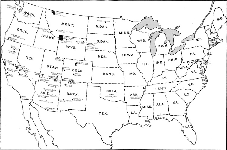
Location of 22 National Parks and 24 National Monuments Administered by the National Park Service, 1934
(from Glimpses of Our National Monuments, 1930)


Location of Reservations Administered by the National Park Service, 1934
(from Glimpses of Our National Parks, 1934)


National Park System Areas and Projects, 1940
(from National Park Briefs, 1940)

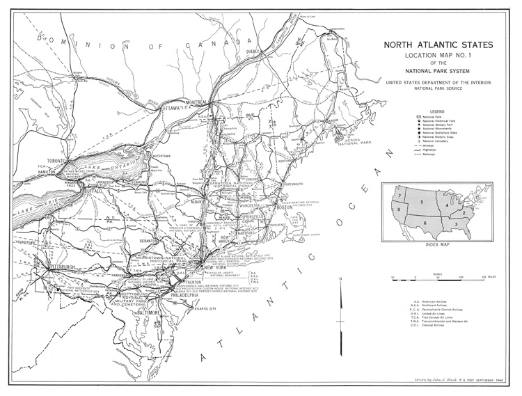
North Atlantic States, 1944
(from National Park Location Map No. 1, 1944)


Southern Mountain States, 1944
(from National Park Location Map No. 2, 1944)


Far South States, 1944
(from National Park Location Map No. 3, 1944)


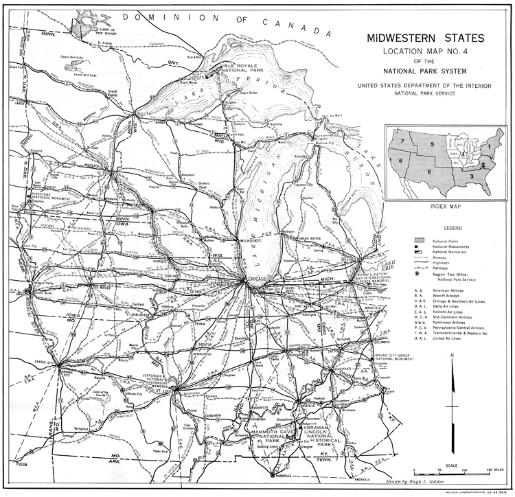
Midwestern States, 1944
(from National Park Location Map No. 4, 1944)


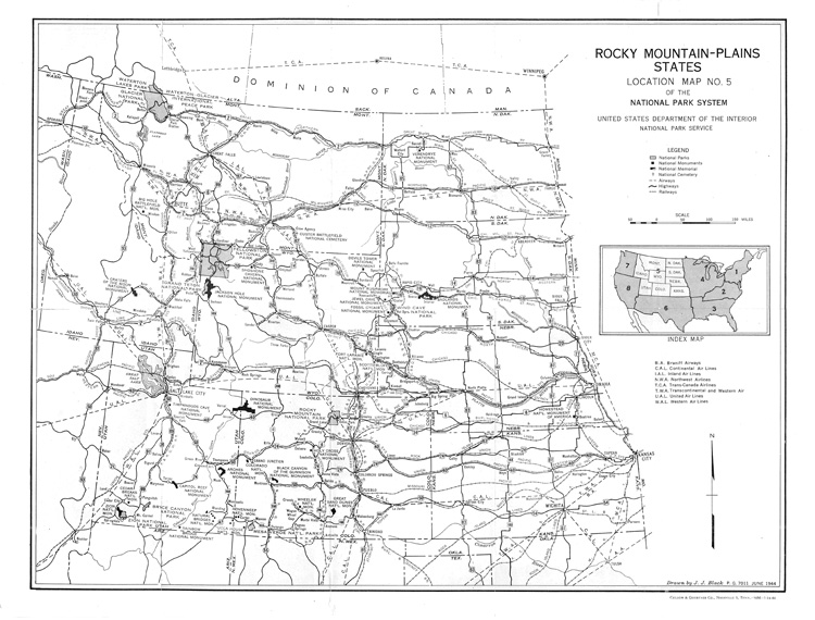
Rocky Mountains - Plains States, 1944
(from National Park Location Map No. 5, 1944)


Southwestern States, 1944
(from National Park Location Map No. 6, 1944)


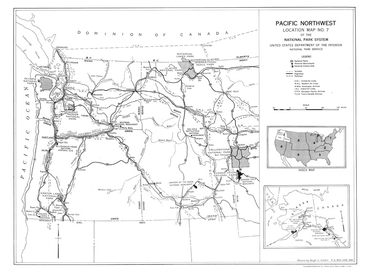
Pacific Northwest, 1944
(from National Park Location Map No. 7, 1944)


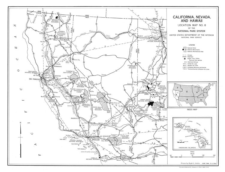
California-Nevada-Hawaii, 1944
(from National Park Location Map No. 8, 1944)


National Park System, Eastern United States, 1958
(from The National Park System, Eastern United States, 1958)


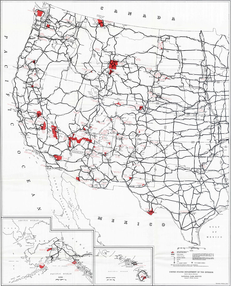
National Park System, Western United States, 1957
(from The National Park System, Western United States, 1957)


National Park System, 1989
(from National Park System Map and Guide, 1989)


Pinnacles National Monument
(from Park and Recreation Structures, 1938)


Zion National Park
(from Park and Recreation Structures, 1938)


Lassen Volcanic National Park
(from Park and Recreation Structures, 1938)


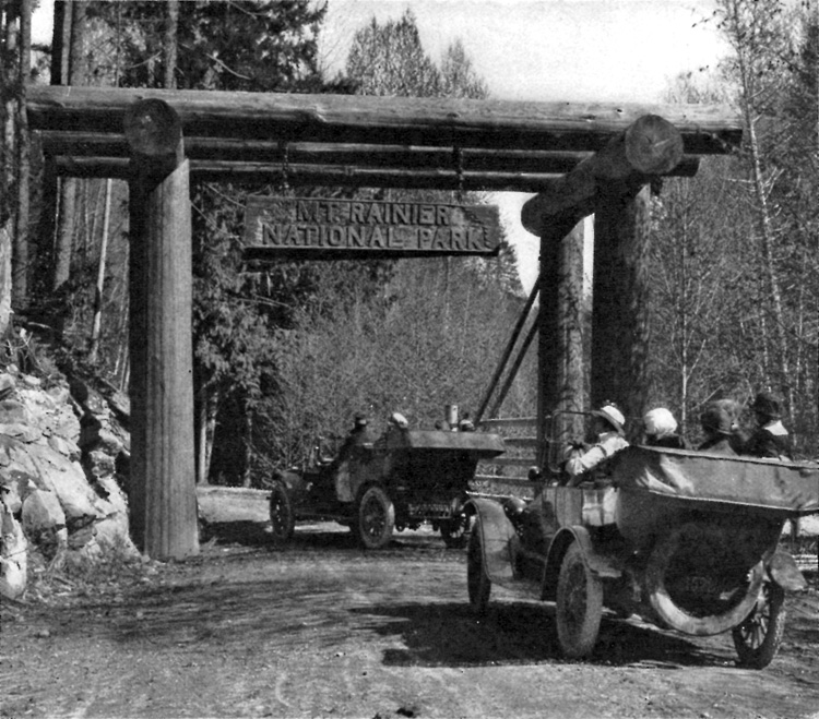
Mount Rainier National Park
(from Park and Recreation Structures, 1938)


Mount Rainier National Park
(Copyright by Curtis & Miller, from National Parks Portfolio, 1921)


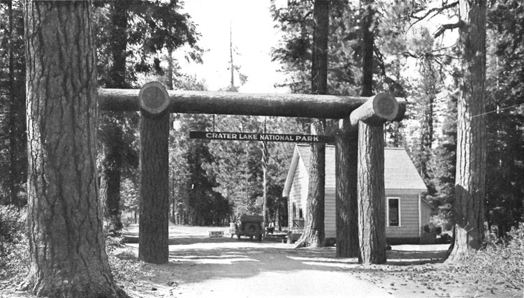
Crater Lake National Park
(from Park and Recreation Structures, 1938)


The Klamath Entrance, Crater Lake National Park
(Copyright by Patterson, from National Parks Portfolio, 1931)


Jewel Cave National Monument
(from Park and Recreation Structures, 1938)


Casa Grande National Monument
(from Park and Recreation Structures, 1938)


Ash Mountain Entrance, Sequoia National Park
(from Presenting Nature: The Historic Landscape Design of The National Park Service 1916 to 1942, 1993)


Mount McKinley National Park, 1926
(from Crown Jewel of the North: An Administrative History of Denali National Park and Preserve, Volume 1, 2006)


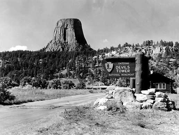
Entrance sign and ranger station at Devils Tower
(Photography by Wayne W. Bryant, NPS photo HPC-000520, c1956)


Blue Ridge Parkway, leaving Shenandoah National Park
(from Planning Our National Park Roads and Our National Parkways, photograph by Abbie Rowe, National Park Service)


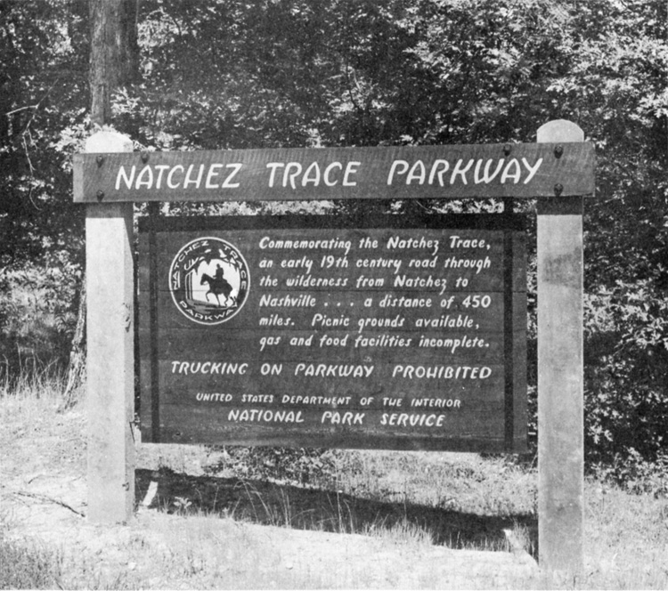
Natchez Trace Parkway, Tennessee
(from Planning Our National Park Roads and Our National Parkways, Tennessee Conservation Department photo)


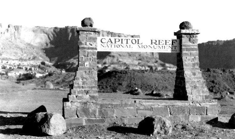
Original Capitol Reef National Monument entrance sign.
(National Park Service photo)


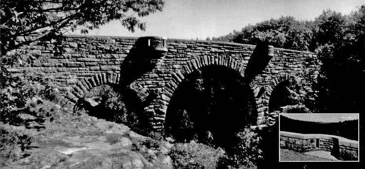
Duck Brook Carriage Road Bridge (1929) is considered to be the most grandiose of Rockefeller's constructions in Acadia National Park. (JTL photo, from Highways in Harmony: Acadia Roads and Bridges, 1996)


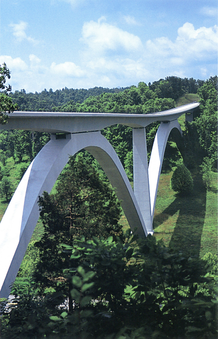
Double Arch Bridge, Natchez Trace Parkway, Williamson County, Tennessee. Our Nation's first segmentally constructed concrete arch bridge. (Photo by N.V. Hanna, from We Engineer America's Scenic Highways, Federal Highway Administration, undated)


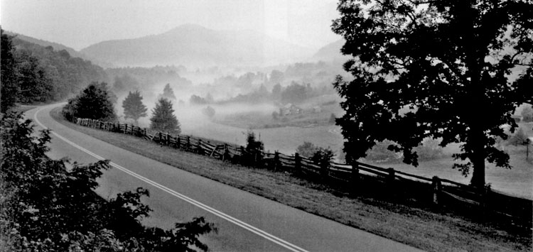
The pastoral landscape at sweeping Belchers Curve is protected under scenic easements 1996. (from Highways in Harmony: Blue Ridge Parkway, Virginia and North Carolina, 1996)


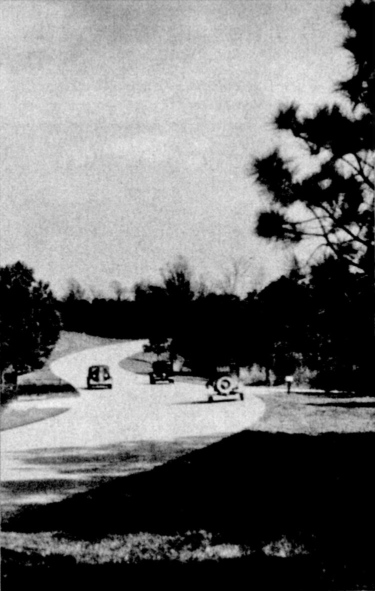
Motoring tourists out for a Sunday drive on Colonial Parkway, ca. 1940. (Photo courtesy of Colonial National Historical Park Archives, from Highways in Harmony: Colonial Parkway, Jamestown, Williamsburg, Yorktown, Virginia, 1996)


Blue Ridge Parkway, near Floyd, Virginia. This 469-mile-long scenic parkway in Virginia and North Carolina spirals and winds its way from the valleys to the mountain tops. (Photo by N.V. Hanna, from We Engineer America's Scenic Highways, Federal Highway Administration, undated)


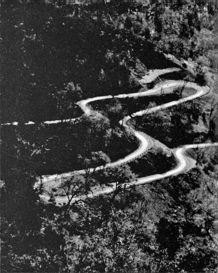
Generals Highway, Sequoia National Park. (Photo courtesy of Sequoia and Kings Canyon National Parks Archives, from Highways in Harmony: Generals Highway, Sequoia National Park, California, 1996)


George Washington Memorial Parkway, 1956. (Photo courtesy of National Archives, from Highways in Harmony: George Washington Memorial Parkway, Virginia, Maryland, Washington, D.C., 1996)


Voyageurs National Park, International Falls, Minnesota. New 3.2-mile entrance road to the Ash River Visitor Center. The waterways of the park were vital to the voyageurs, who were French-Canadian canoemen actively engaged in fur trading in the late 18th and early 19th centuries. (Photo by N.V. Hanna, from We Engineer America's Scenic Highways, Federal Highway Administration, undated)


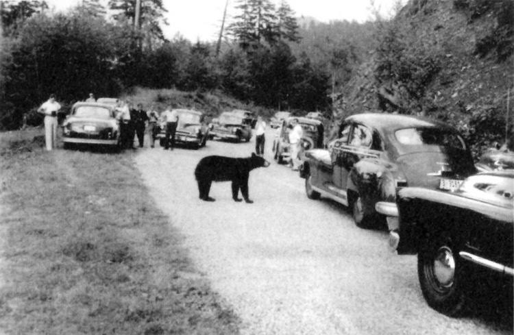
Bear Jam in the Great Smokies, ca. 1950
(Photo courtesy of Great Smoky Mountains National Park, from Highways in Harmony: Great Smoky Mountains National Park, North Carolina, Tennessee, 1996)


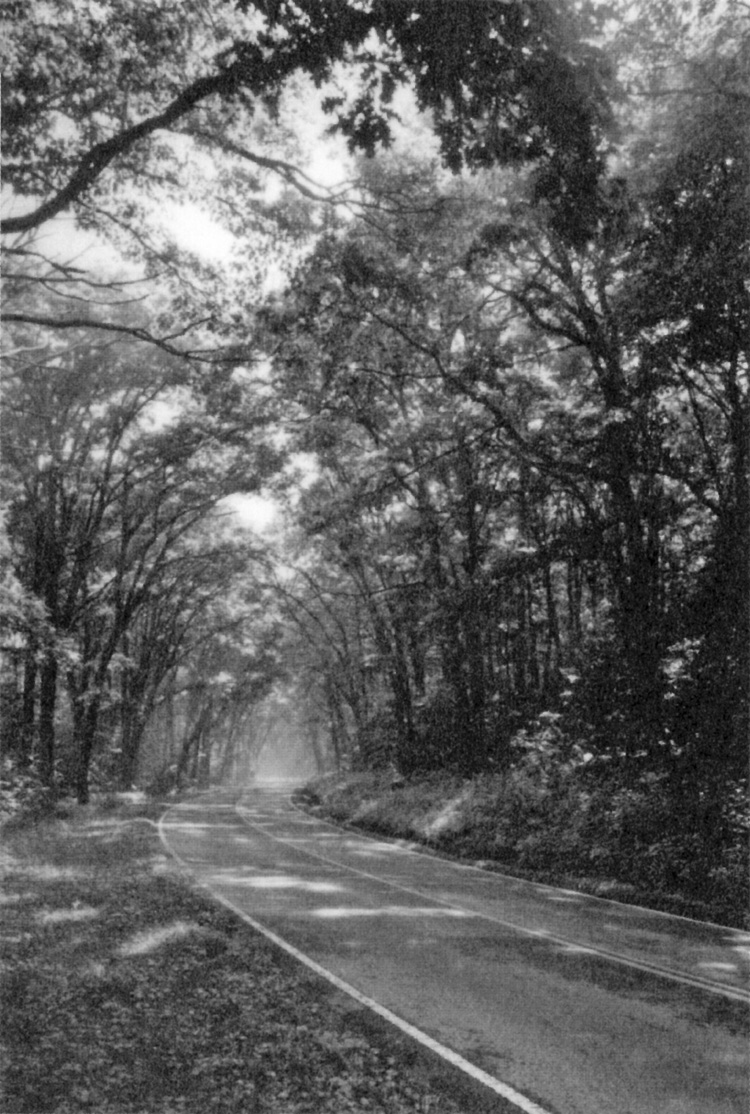
Winding through the old-growth forest near Longmire. (from Highways in Harmony: Mount Rainier Roads and Bridges, Mount Rainier National Park, Washington, 1992)


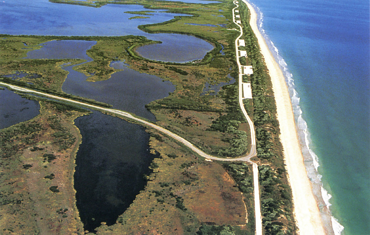
Canaveral National Seashore, Brevard County, Florida. Because of its close proximity to the Kennedy Space Center, this road leading to Playalinda Beach was closed at times due to Space Center activities. As as result of the road relocation, the road now provides access to the beach year round. (Photo by N.V. Hanna, from We Engineer America's Scenic Highways, Federal Highway Administration, undated)


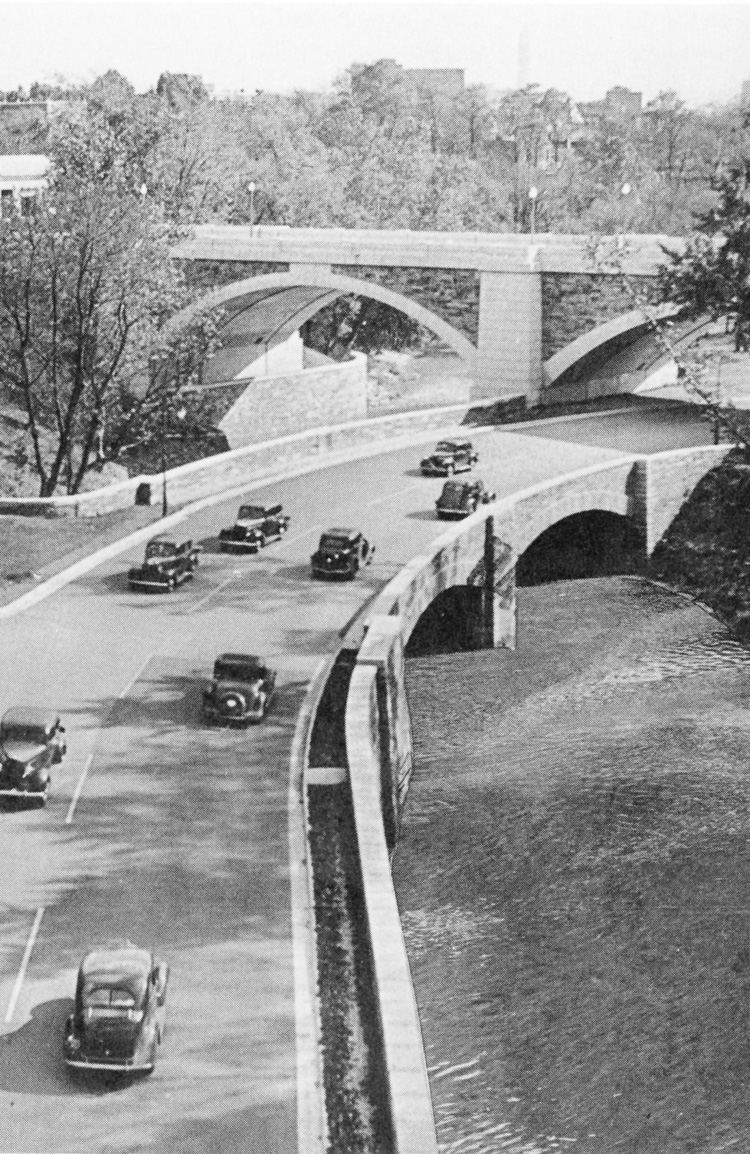
Rock Creek and Potomac Parkway near P Street, ca. 1937 (DCL photo, from Highways in Harmony: Rock Creek and Potomac Parkway, Washington, D.C., 1994)


Skyline Drive. (from Highways in Harmony: Shenandoah National Park, Virginia, 1996)


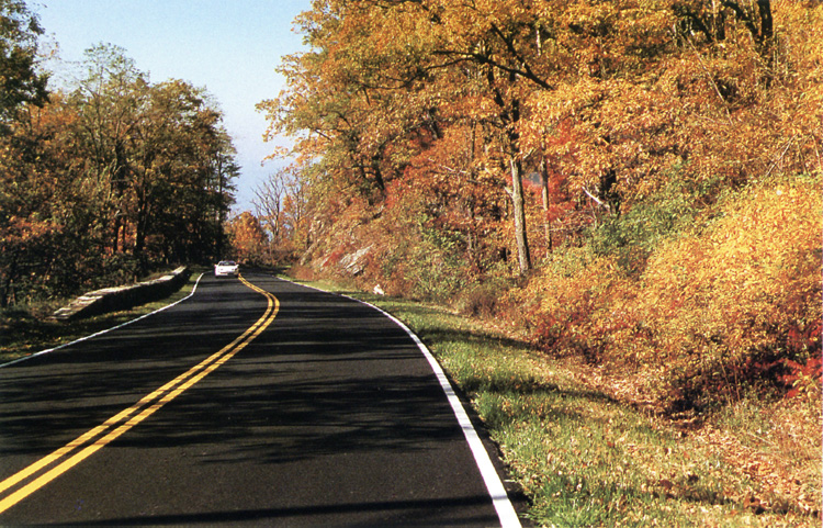
Skyline Drive, Shenandoah National Park. This 105-mile-long park road offers scenic panoramic views and is enhanced with natural stone guardwalls, crash tested for the safety of the traveler. (Photo by N.V. Hanna, from We Engineer America's Scenic Highways, Federal Highway Administration, undated)


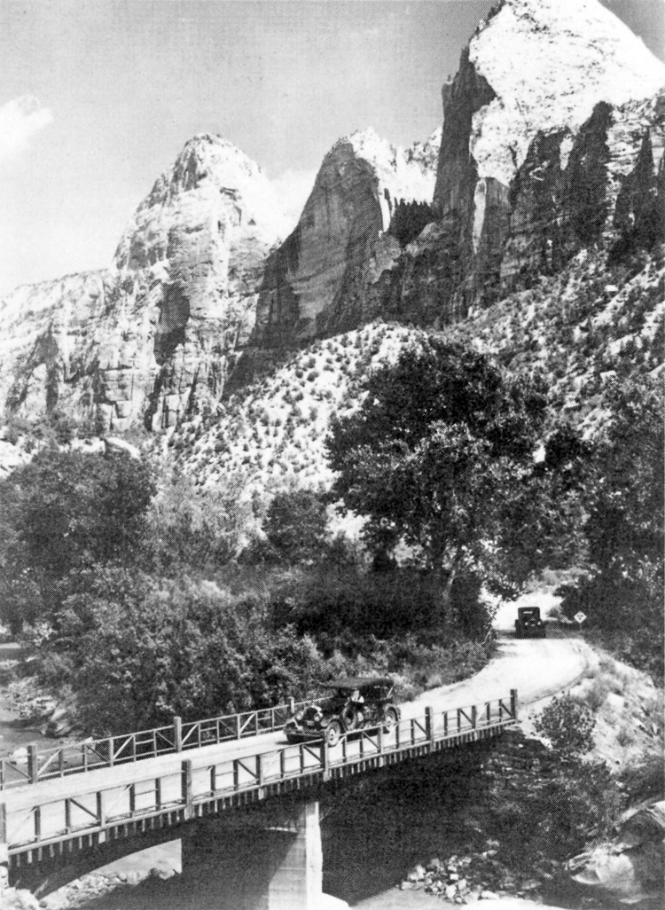
Constructed in 1924, this arch-girder bridge carried Zion's Floor of the Valley Road across the North Fork Virgin River, ca. 1929. (Photo courtesy of Zion National Park Collection, from Highways in Harmony: Southwest Circle Tour Roads and Bridges, 1994)


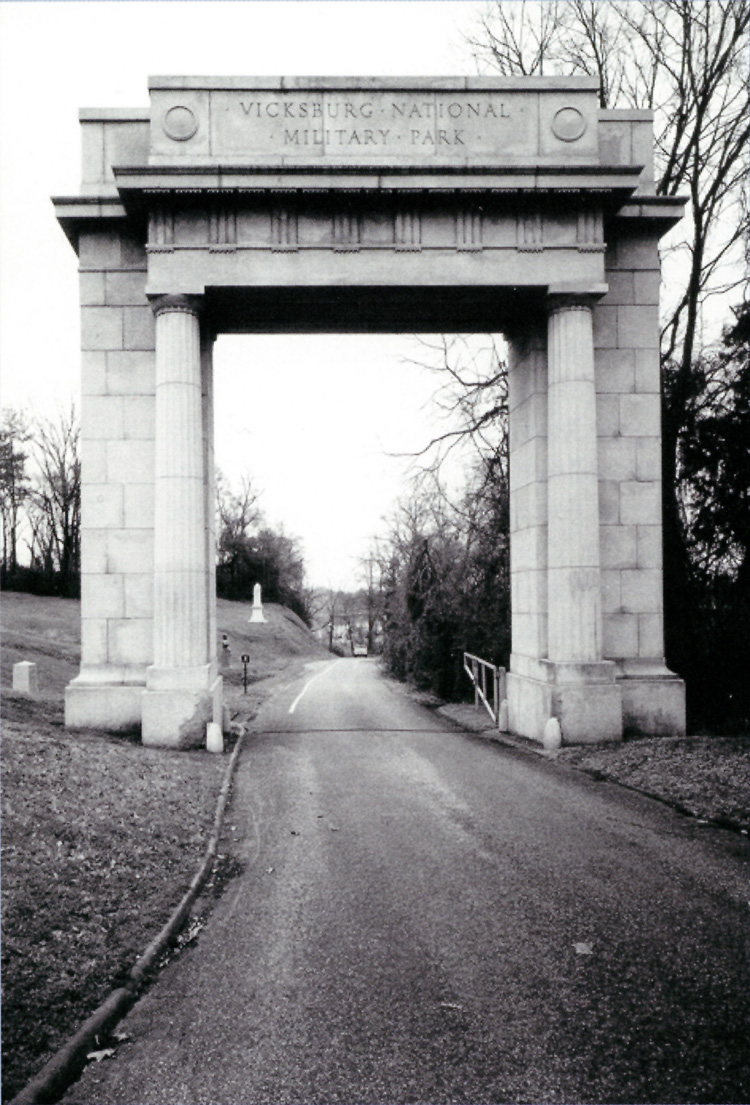
Memorial Arch on Union Avenue is a grand entrance to the commemorative landscape that awaits visitors. (HAER photo, from Highways in Harmony: Vicksburg National Military Park Tour Roads, Vicksburg, Mississippi, 1997)


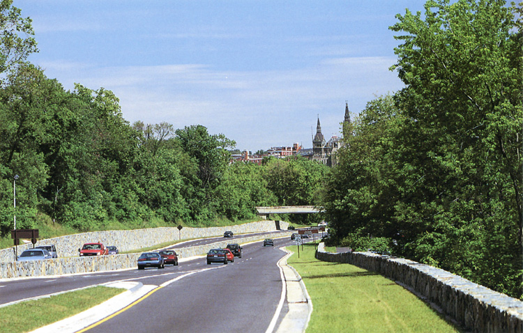
George Washington Memorial Parkway, Arlington County, Virginia. This scenic parkway, a commuter route into the Nation's Capital, follows the Virginia side of the Potomac River opposite historic Georgetown in Washington, D.C. Stone bridges and guardwalls help preserve the parkway setting. (Photo by N.V. Hanna, from We Engineer America's Scenic Highways, Federal Highway Administration, undated)


Golden Gate Viaduct, late 1880s. (Photo by Frank J. Haynes, from Highways in Harmony: Yellowstone Roads and Bridges, A Glimpse of the Past, 1996)


Motor stage on the El Portal Road passes through Arch Rock Entrance, 1920. (Photo courtesy Yosemite Research Library, from Highways in Harmony: Yosemite Roads and Bridges, Yosemite National Park, California, 1991)