|
EBEY'S LANDING
Ebey's Landing National Historical Reserve Reading the Cultural Landscape |

|
APPENDIX
A Note on Visual Quality and Visual Resources
There are several methods of identifying and assessing the visual qualities of a landscape. Techniques range from evaluation based on individual preferences and subjective tastes to more objective analysis using computers and statistical systems that rate the types and values of visual resources in a landscape.
In previous studies at Ebey's Landing two different methods have been used. One study (1976) focused on the public image of the reserve by conducting a citizen survey and combining that information with direct field observation. In the study, natural boundaries helped establish seven "visual districts". Within these larger areas, the study identified several landscape details and features such as gateways, landmarks, viewpoints and smaller boundary elements that influence perception and experience of the whole reserve. The information in the study was not evaluated or given a positive or negative value , but it did provide a preliminary visual inventory of the reserve.
In a later study (see Comprehensive Plan for Ebey's Landing National Historical Reserve, 1980), visual resources were evaluated and assessed according to an area's vulnerability to development and potential impacts in the landscape because of change.
Both studies are valuable for enhancing our understanding of visual resources on the reserve. This report incorporates both studies and includes field information gathered during the building and landscape inventory (1983) to help identify distinct character areas and visual characteristics among landscape features. The observations in this report are not primarily evaluative but do suggest some perceptual tools for understanding the ways we look at landscapes. Briefly the techniques used in this report considered visual character of the reserve at three scales.
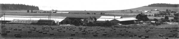
The largest scale is equivalent to the contextual setting of the reserve and overall landscape organization as discussed in part three of this report. In addition, visual qualities at this level consider perceptions of entry and access and definition of primary districts within the entire reserve. For example a product from this scale of visual analysis was development of the ten character areas of the reserve.
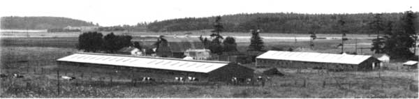
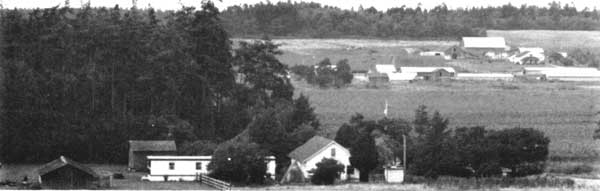
The second scale of observation considered a variety of features from the built environment especially buildings and structures, but also hedgerows, tree groupings, shorelines and roadside elements. These observations were reflected in discussions of the "visual cohesiveness" of Front Street in Coupeville or the "visual quality" (based on historic patterns) of open prairies with hedgerows defining the patchwork of cultivated field and pasture.
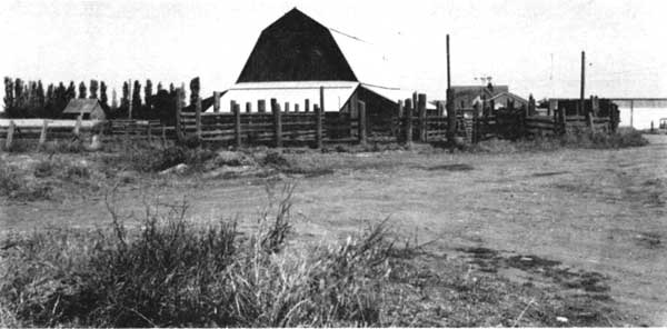
The third scale considered the landscape in detail. Although this study primarily addressed broad historic landscape patterns several small scale elements were included, such as fence details, pathways, building materials, and a variety of remnant historic features that give depth and texture to any landscape. Images of gates, the headstones in the cemetery, old lamp posts and abandoned structures reflect this focus.
Altogether these different levels of looking at landscapes are methods of organizing our understanding of a complex and dynamic system of landscape components. As mentioned above, this report does not evaluate visual resources on the reserve. A more comprehensive study on this subject is planned this year.
Landscape Development and Settlement Patterns | Looking at Landscapes | Reading the Landscape
Preservation Principles | Appendix | Bibliography
rcl/rcla.htm
Last Updated: 07-Dec-2015